We are in the process of migrating all NASA Earth science data sites into Earthdata from now until end of 2026. Not all NASA Earth science data and resources will appear here until then. Thank you for your patience as we make this transition.
Read about the Web Unification Project
Glaciers/Ice Sheets News
Articles, resources, and announcements from Glaciers/Ice Sheets.
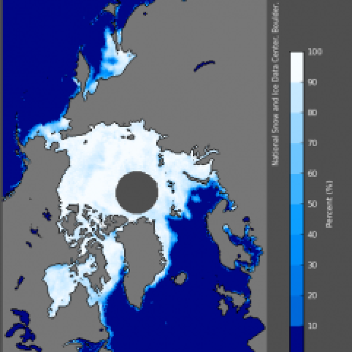
The 1978 launch of NASA’s Nimbus-7 satellite carrying the SMMR passive microwave sensor ushered in the modern satellite sea ice data record.
News
Nov. 4, 2020

Image captured on 11 January 2020, by the MODIS instrument, aboard the Terra satellite.
Worldview Image of the Week
Nov. 4, 2020

Image captured on 4 February 2019, by the MODIS instrument, aboard the Terra satellite.
Worldview Image of the Week
Sept. 11, 2020

Image captured on 16 June 2019, by the MODIS instrument, aboard the Aqua satellite.
Worldview Image of the Week
Sept. 11, 2020

Image captured on 15 November 2015 by the MODIS instrument, aboard the Aqua satellite.
Worldview Image of the Week
Sept. 11, 2020

Image captured on 23 July 2017, by the MODIS instrument, aboard the Aqua satellite.
Worldview Image of the Week
Sept. 11, 2020
Dr. Scheuchl and his team use SAR data to characterize Antarctica.
Data User Story
Aug. 8, 2020

New products reveal subtle surface features of Antarctica previously not perceptible.
Feature Article
July 28, 2020
SHOWING 8 OF 54