We are in the process of migrating all NASA Earth science data sites into Earthdata from now until end of 2026. Not all NASA Earth science data and resources will appear here until then. Thank you for your patience as we make this transition.
Read about the Web Unification Project
Vegetation Index Learning Resources
Webinars, tutorials, data recipes and more to help you work with Vegetation Index.
Filters

This ARSET training presents more advanced radar remote sensing techniques using polarimetry to extract crop structural information.
Training
April 12 - May 3, 2022

Read highlights of three publications that detail how NASA Earth observation data are used to map wildfire fuel loads, analyze volcanic ash composition, and improve soil respiration models in agricultural systems.
Data in Action
March 15, 2022
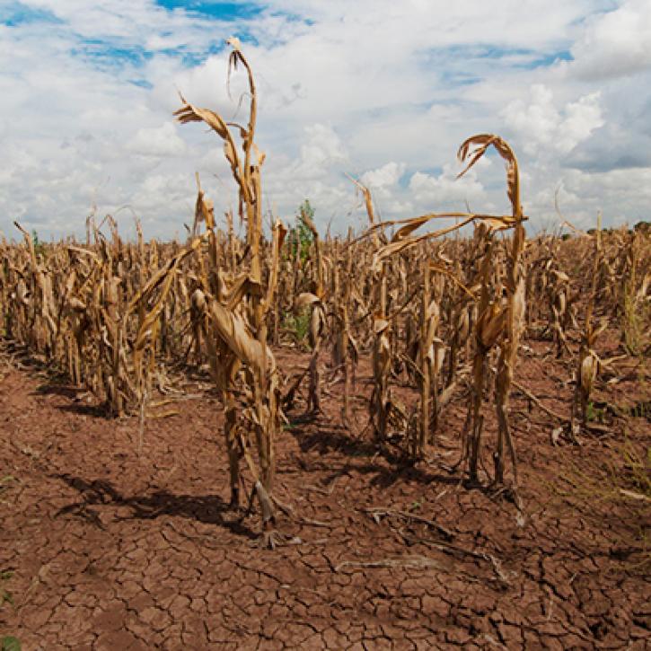
Propagation and Impacts of Great Plains Drought Captured by NASA Models and Datasets
StoryMap
Feb. 1, 2022
NASA Models and Remote Sensing Datasets Capture Cascading Impacts on Midwest Farmers
StoryMap
Feb. 1, 2022

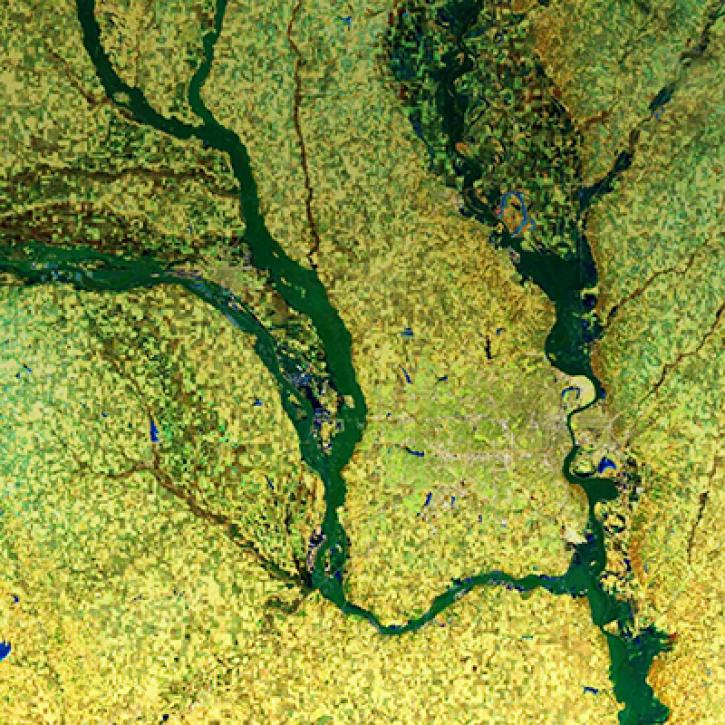
NASA Models and Datasets Capture Irrigation and Groundwater Depletion Impacts
StoryMap
Feb. 1, 2022

This ARSET training covers the Google Earth Engine Code Editor and hands-on exercises for processes integral to optical imagery analysis.
Training
June 16-30, 2021

This ARSET training focuses on mapping and monitoring mangroves and how it aligns with UN Sustainable Development Goals (SDGs).
Training
Nov. 5-19, 2020

Get to know NASA's Land Processes Distributed Active Archive Center (LP DAAC) in this Tech Talk Webinar.
Webinar
Oct. 1, 2020
SHOWING 8 OF 52
Frequently Asked Questions
Earthdata Forum
Our online forum provides a space for users to browse thousands of FAQs about research needs, data, and data applications. You can also submit new questions for our experts to answer.
Submit Questions to Earthdata Forumand View Expert Responses