| SEAC4RS DC-8 Aircraft In-Situ Trace Gas Data |
1 |
NASA DC-8 |
AVOCET, GC-MS, DACOM, LWCC, CAMS, TD-LIF, CIMS, CHEMILUMINESCENCE, CIT-ToF-CIMS, PTR-MS |
2013-08-02 to 2013-09-24 |
|
|
ICARTT |
| SEAC4RS ER-2 Aircraft In-Situ Trace Gas Data |
1 |
NASA ER-2 |
WAS, UV OZONE DETECTORS, CRDS, ALIAS |
2013-08-01 to 2013-09-23 |
|
|
ICARTT |
| SEAC4RS Merge Data Files |
1 |
NASA DC-8, NASA ER-2 |
Computer |
2013-08-06 to 2013-09-24 |
|
|
ICARTT |
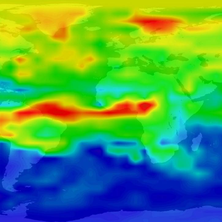
| Sentinel-5P TROPOMI Carbon Monoxide CO Column 1-Orbit L2 5.5km x 7km V1 (S5P_L2__CO_____HiR) at GES DISC |
1 |
Sentinel-5P |
TROPOMI |
2019-08-06 to 2021-07-01 |
N: 90
S: -90
E: 180
W: -180
|
|
|
| Sentinel-5P TROPOMI Carbon Monoxide CO Column 1-Orbit L2 5.5km x 7km V2 (S5P_L2__CO_____HiR) at GES DISC |
2 |
Sentinel-5P |
TROPOMI |
2018-04-30 to Present |
N: 90
S: -90
E: 180
W: -180
|
|
|
| Sentinel-5P TROPOMI Carbon Monoxide CO Column 1-Orbit L2 7km x 7km V1 (S5P_L2__CO____) at GES DISC |
1 |
Sentinel-5P |
TROPOMI |
2018-04-30 to 2019-08-06 |
N: 90
S: -90
E: 180
W: -180
|
|
|
| Sentinel-5P TROPOMI Near-Real-Time (NRT) Carbon Monoxide CO Column 1-Orbit L2 5.5km x 7km V2 (S5P_L2__CO_____HiR_NRT) at GES DISC |
2 |
Sentinel-5P |
TROPOMI |
2025-01-27 to Present |
N: 90
S: -90
E: 180
W: -180
|
|
|
| SOLVE I Balloonsondes and Ozonesondes Data |
1 |
GROUND-BASED OBSERVATIONS |
OZONESONDES, ACATS, LACE, NOAA O3 Classic, SLS, MARK IV INTERFEROMETER, ALIAS, Harvard CO2 |
1999-11-09 to 2000-03-15 |
|
|
AMES |
| SOLVE I DC-8 Aircraft In-situ Trace Gas Data |
1 |
NASA DC-8 |
TOTCAP, FASTOZ, ATHOS, NO/NOy, DACOM, ClO/BrO, CIMS |
1999-11-22 to 2000-03-15 |
|
|
AMES |
| SOLVE I ER-2 Aircraft In-situ Trace Gas Data |
1 |
NASA ER-2 |
HOx, CLONO2, AWAS, ACATS, ARGUS, ALIAS, CIMS, Harvard CO2 |
1998-11-10 to 2000-03-18 |
|
|
AMES |
| SOLVE I Ground Site Data |
1 |
GROUND STATIONS |
LIDAR, DIAL, MARK IV INTERFEROMETER |
1999-11-09 to 2000-03-15 |
|
|
AMES |
| SOLVE II DC-8 Aircraft In-situ Trace Gas Data |
1 |
NASA DC-8 |
FASTOZ, DACOM, PANTHER |
2002-12-13 to 2003-02-06 |
|
|
AMES |
| Sounder SIPS: Suomi NPP CrIMSS Level 2 SiFSAP Standard: Atmosphere cloud and surface geophysical state per footprint V2 (at GESDISC) |
2 |
Suomi-NPP |
ATMS, CrIS |
2015-11-02 |
N: 90
S: -90
E: 180
W: -180
|
|
|
| Sounder SIPS: Suomi NPP CrIMSS Level 2 SiFSAP Support: Atmosphere cloud and surface geophysical state per footprint V2 at GES DISC |
2 |
Suomi-NPP |
ATMS, CrIS |
2015-11-02 |
N: 90
S: -90
E: 180
W: -180
|
|
|
| STRAT ER-2 Aircraft In-situ Trace Gas Data |
1 |
NASA ER-2 |
Harvard CO2, AWAS, ACATS, HOx, ATLAS, NOAA O3 Classic, ALIAS |
1995-03-24 to 1996-12-21 |
|
|
AMES |
| Sulfates, Clouds and Radiation Brazil (SCAR-B) University of Washington C131A Data |
1 |
C-131A |
TSI-3562 Nephelometer, COSPEC, FSSP, PCASP, PMS, CHEMILUMINESCENCE |
1995-08-17 to 1995-09-20 |
|
|
Binary |
| TROPESS AIRS-Aqua L2 Carbon Monoxide for Forward Stream, Standard Product V1 (TRPSDL2COAIRSFS) at GES DISC |
1 |
Aqua |
AIRS |
2021-02-01 to Present |
N: 90
S: -90
E: 180
W: -180
|
|
|
| TROPESS AIRS-Aqua L2 Carbon Monoxide for Forward Stream, Summary Product V1 (TRPSYL2COAIRSFS) at GES DISC |
1 |
Aqua |
AIRS |
2002-08-30 to Present |
N: 90
S: -90
E: 180
W: -180
|
|
|
| TROPESS AIRS-Aqua L2 Carbon Monoxide for Reanalysis Stream, Summary Product V1 (TRPSYL2COAIRSORS) at GES DISC |
1 |
Aqua |
AIRS |
2002-09-01 to 2020-03-31 |
N: 90
S: -90
E: 180
W: -180
|
|
|
| TROPESS Chemical Reanalysis CO 6-Hourly 3-dimensional Product V1 (TRPSCRCO6H3D) at GES DISC |
1 |
REANALYSIS MODELS |
NOT APPLICABLE |
2005-01-01 to 2021-12-31 |
N: 90
S: -90
E: 180
W: -180
|
1.125 Decimal Degrees x 1.125 Decimal Degrees |
|
| TROPESS Chemical Reanalysis CO Monthly 3-dimensional Product V1 (TRPSCRCOM3D) at GES DISC |
1 |
REANALYSIS MODELS |
NOT APPLICABLE |
2005-01-01 to 2021-12-31 |
N: 90
S: -90
E: 180
W: -180
|
1.125 Decimal Degrees x 1.125 Decimal Degrees |
|
| TROPESS Chemical Reanalysis CO Spread 6-Hourly 3-dimensional Product V1 (TRPSCRCOS6H3D) at GES DISC |
1 |
REANALYSIS MODELS |
NOT APPLICABLE |
2005-01-01 to 2021-12-31 |
N: 90
S: -90
E: 180
W: -180
|
1.125 Decimal Degrees x 1.125 Decimal Degrees |
|
| TROPESS Chemical Reanalysis CO Spread Monthly 3-dimensional Product V1 (TRPSCRCOSM3D) at GES DISC |
1 |
REANALYSIS MODELS |
NOT APPLICABLE |
2005-01-01 to 2021-12-31 |
N: 90
S: -90
E: 180
W: -180
|
1.125 Decimal Degrees x 1.125 Decimal Degrees |
|
| TROPESS Chemical Reanalysis Surface Anthropogenic CO emissions Monthly 2-dimensional Product V1 (TRPSCRECOAM2D) at GES DISC |
1 |
REANALYSIS MODELS |
NOT APPLICABLE |
2005-01-01 to 2021-12-31 |
N: 90
S: -90
E: 180
W: -180
|
1.125 Decimal Degrees x 1.125 Decimal Degrees |
|
| TROPESS Chemical Reanalysis Surface Biomass Burning CO emissions Monthly 2-dimensional Product V1 (TRPSCRECOBM2D) at GES DISC |
1 |
REANALYSIS MODELS |
NOT APPLICABLE |
2005-01-01 to 2021-12-31 |
N: 90
S: -90
E: 180
W: -180
|
1.125 Decimal Degrees x 1.125 Decimal Degrees |
|