We are in the process of migrating all NASA Earth science data sites into Earthdata from now until end of 2026. Not all NASA Earth science data and resources will appear here until then. Thank you for your patience as we make this transition.
Read about the Web Unification Project
Aerosols News
Articles, resources, and announcements from Aerosols.
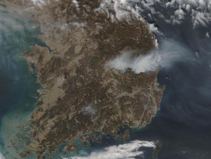
Image captured on Mar 26, 2025, by the VIIRS instrument aboard the joint NASA/NOAA NOAA-21 platform.
Worldview Image of the Week
March 27, 2025
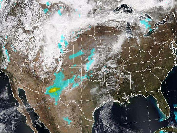
Spring 2025 has been an unusually active period for dust storms over the Southwestern U.S.
News
March 25, 2025

Image captured at 6:00 p.m. EDT on Mar 18, 2025, by the ABI instrument aboard the GOES-West/GOES-18 platform.
Worldview Image of the Week
March 20, 2025

The ACTIVATE team hosted its final science team meeting on November 20, 2024.
Event
Nov. 20, 2024
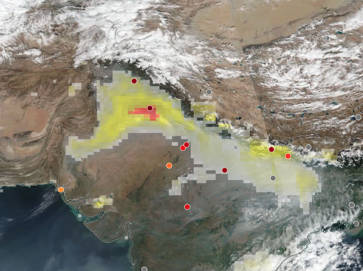
Base corrected reflectance image acquired on Nov 12, 2024, with aerosol index overlaid with ground-based aerosol optical depth measurements.
Worldview Image of the Week
Nov. 14, 2024
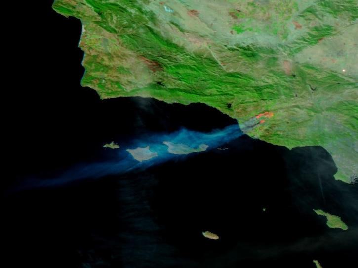
Image captured on Nov 6, 2024, by the VIIRS instrument aboard the NOAA-20 platform.
Worldview Image of the Week
Nov. 7, 2024

Join NASA's Aerosol Cloud Meteorology Interactions Over the Western Atlantic Experiment (ACTIVATE) team for a workshop about this airborne field campaign and its data.
Event
Nov. 4, 2024
Image captured on Aug 28, 2024, by the VIIRS instrument aboard the joint NASA/NOAA NOAA-20 satellite.
Worldview Image of the Week
Aug. 29, 2024
SHOWING 8 OF 250