We are in the process of migrating all NASA Earth science data sites into Earthdata from now until end of 2026. Not all NASA Earth science data and resources will appear here until then. Thank you for your patience as we make this transition.
Read about the Web Unification Project
Aerosol Optical Depth/Thickness News
Articles, resources, and announcements from Aerosol Optical Depth/Thickness.
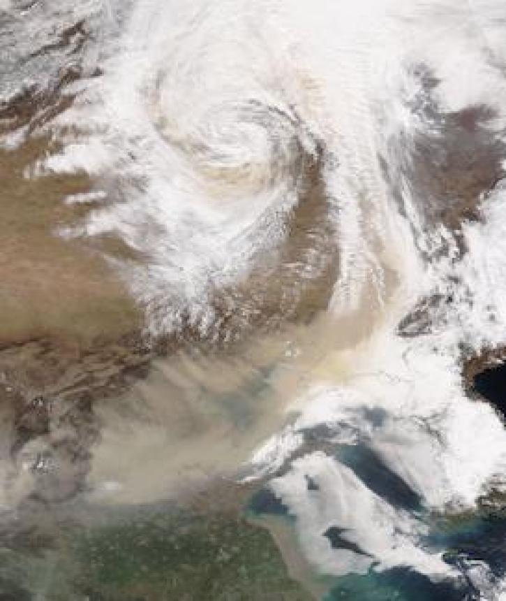
Image captured on 28 March 2021, by the VIIRS instrument, aboard the joint NASA/NOAA NOAA-20 satellite.
Worldview Image of the Week
April 5, 2021

Aerosols have a huge impact on climate and human health. Dr. Steven Massie uses remotely-sensed data to better understand these impacts and improve how aerosols are detected by Earth observing satellites.
Data User Story
Jan. 7, 2021
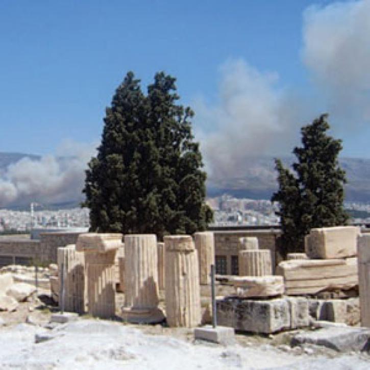
The effects of forest fires show up in a multi-satellite view of pollution.
Feature Article
Dec. 28, 2020


The air you breathe could be harming your heart.
Feature Article
Dec. 28, 2020

Open sharing of pollution data helps Chinese netizens brave the politics of murky air.
Feature Article
Dec. 27, 2020

Who uses NASA Earth science data? Dr. Santiago Gassó, to study the concentration and global movement of dust.
Data User Story
Dec. 22, 2020

Image captured on 9 November 2020, by the OMPS instrument, aboard the joint NASA/NOAA Suomi NPP satellite.
Worldview Image of the Week
Nov. 16, 2020
SHOWING 8 OF 42