We are in the process of migrating all NASA Earth science data sites into Earthdata from now until end of 2026. Not all NASA Earth science data and resources will appear here until then. Thank you for your patience as we make this transition.
Read about the Web Unification Project
Filters
A study has identified an ESO data processing architecture that both promotes open science and advances Earth system science.
Feature Article
March 23, 2023

Data from NASA’s Atmospheric Science Data Center help Dr. Owen Cooper monitor and track tropospheric ozone.
Data User Story
March 23, 2023

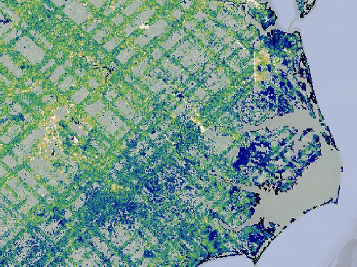
Image of a three-day flood composite ending Mar 22, 2023, from the MODIS instruments aboard the Terra and Aqua satellites, overlaid on a true color corrected reflectance image.
Worldview Image of the Week
March 22, 2023
The GEDI instrument has been moved to an alternate location on the International Space Station for a period of 13 to 18 months.
News
March 17, 2023
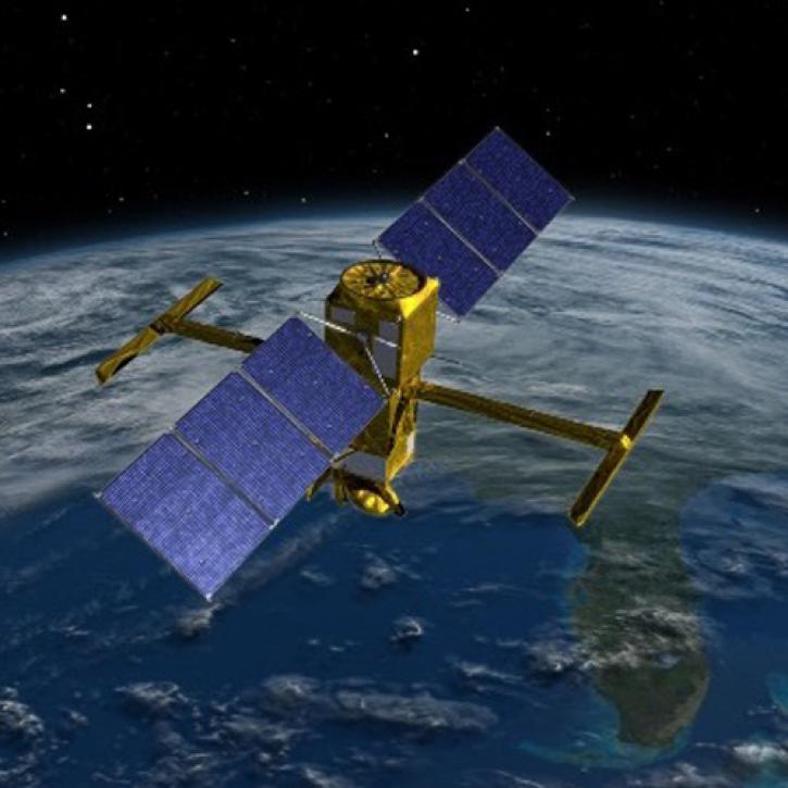
Careful calibration and validation ensure that the Surface Water and Ocean Topography mission will provide the best data possible.
Feature Article
March 17, 2023

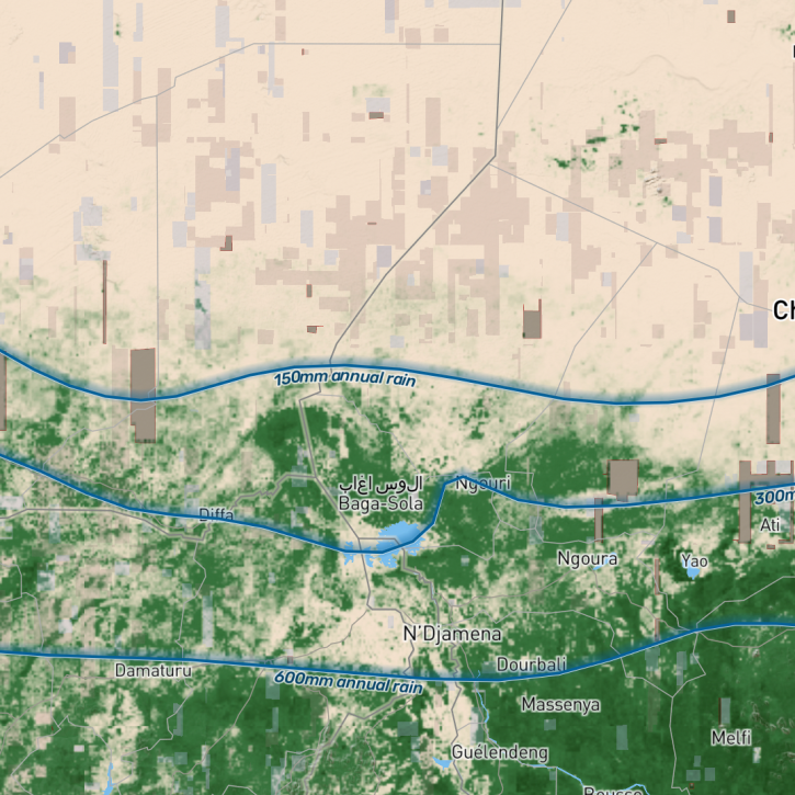
Base image captured Mar 14, 2023, by the VIIRS instrument aboard the joint NASA/NOAA Suomi NPP satellite, overlaid with IMERG Precipitation Rate.
Worldview Image of the Week
March 14, 2023

The dataset provides projections of future population distribution and internal migration for 112 low- and middle-income countries.
Feature Article
March 10, 2023
The study, which utilized data made available by NASA’s Commercial SmallSat Data Acquisition (CSDA) program, was led by NASA’s Compton Tucker and provides new insight into how carbon stocks can be mapped at the level of individual trees.
News
March 9, 2023
SHOWING 8 OF 2379