We are in the process of migrating all NASA Earth science data sites into Earthdata from now until end of 2026. Not all NASA Earth science data and resources will appear here until then. Thank you for your patience as we make this transition.
Read about the Web Unification Project
Filters
NASA geographic information systems (GIS) resources were front and center at the Esri international User Conference in July 2023. Multiple NASA Earth science teams demonstrated the many GIS capabilities provided by the agency.
News
Aug. 3, 2023

This video features Day 1 of the NISAR ISRO Community Workshop held on Aug. 3, 2023. It includes an introduction to SAR, Vertex, InSAR, and HyP3.
Webinar
Aug. 3, 2023

Based on NASA's Harmonized Landsat Sentinel-2 (HLS) data, the artificial intelligence (AI) foundation model is a milestone in the application of AI for Earth science.
News
Aug. 3, 2023

A summary of datasets, products, and resources released by NASA’s Distributed Active Archive Centers (DAACs) in July 2023.
News
Aug. 2, 2023


With the State of the Ocean tool, visualizing ocean data is just a web browser away.
Feature Article
July 28, 2023

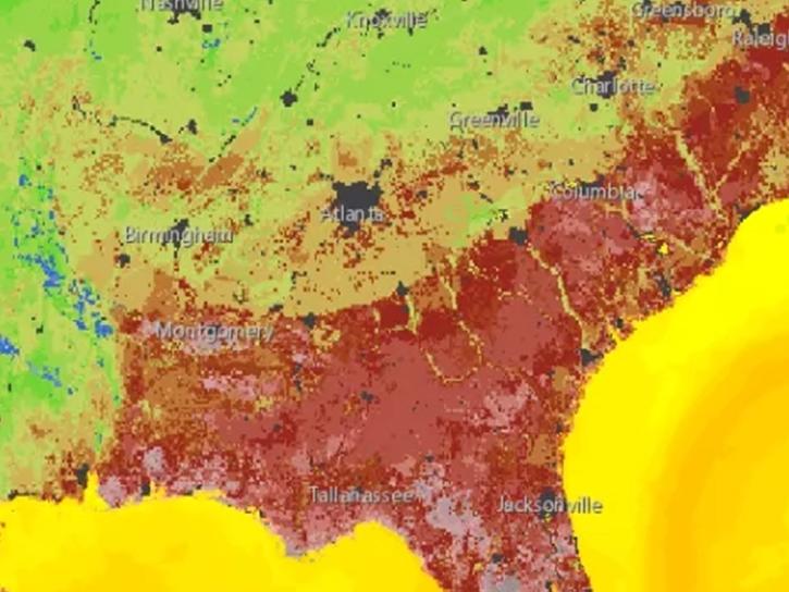
Image captured July 26, 2023, by the MODIS instrument aboard NASA’s Terra satellite.
Worldview Image of the Week
July 27, 2023
Interferometric synthetic aperture radar (InSAR) data helps researchers study fault creep, which occurs when only part of the fault moves.
Data User Story
July 27, 2023
SHOWING 8 OF 2379