We are in the process of migrating all NASA Earth science data sites into Earthdata from now until end of 2026. Not all NASA Earth science data and resources will appear here until then. Thank you for your patience as we make this transition.
Read about the Web Unification Project
Filters
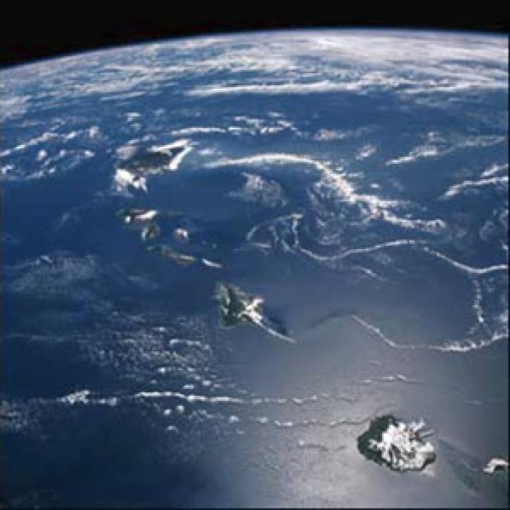
QuikSCAT and TOPEX help scientists notice the long wake near Hawaii.
Feature Article
July 22, 2020
The First ISLSCP Field Experiment (FIFE) provides information about Earth's biogeochemical dynamics.
Feature Article
July 22, 2020

Scientists use gridded population of the world (GPW) data to study hazards and populations.
Feature Article
July 22, 2020
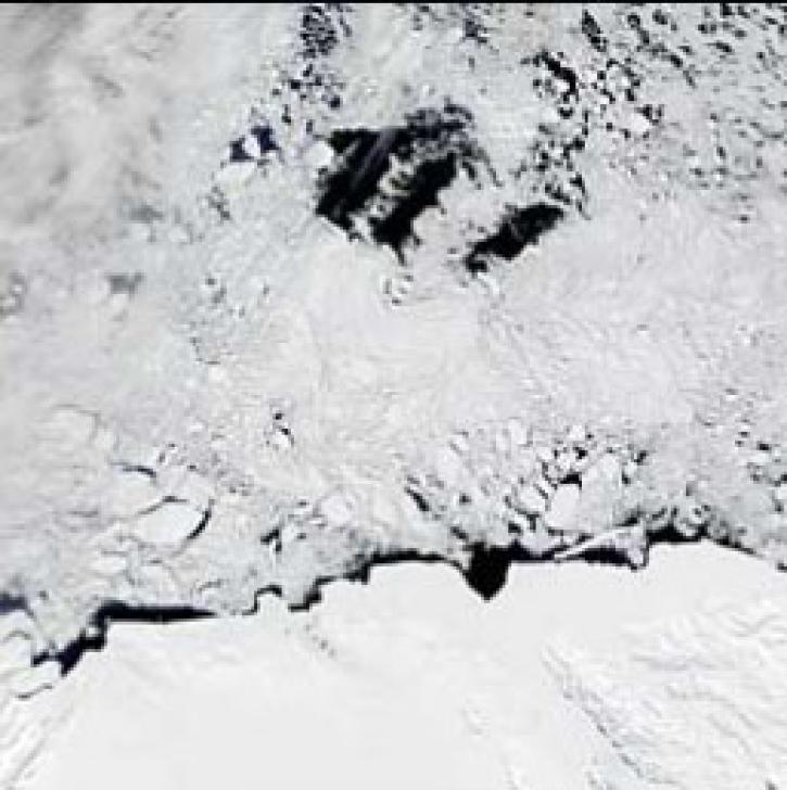
Publication from NASA ESDIS describing research uses of data from EOSDIS - scientists use SSM/I data to locate Antarctic polynyas.
Feature Article
July 22, 2020

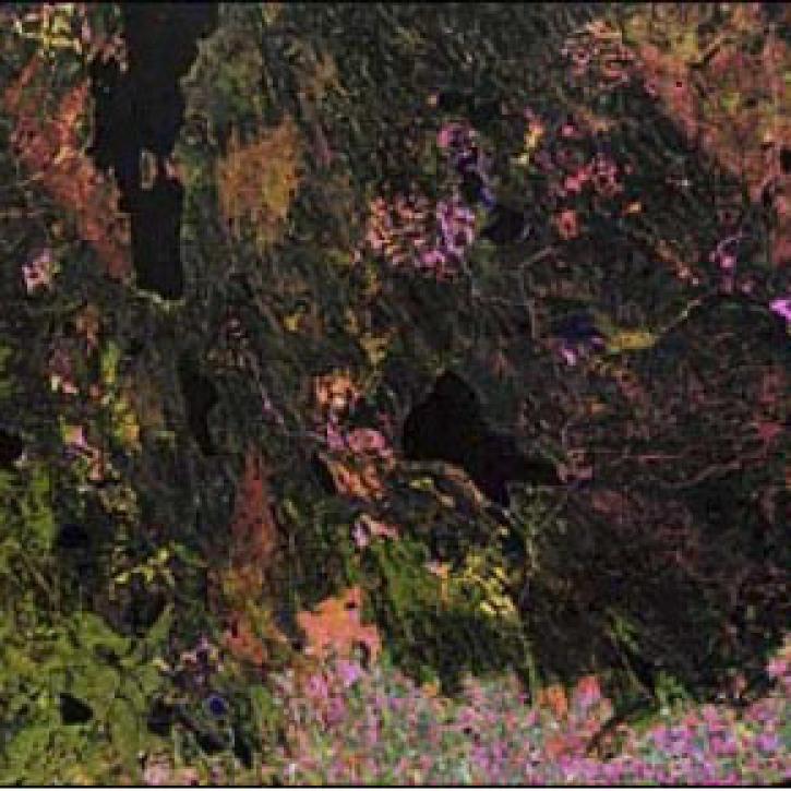
Scientists use Pathfinder AVHRR (PAL) data to study land cover.
Feature Article
July 22, 2020

Craters on Earth's surface provide scientists with clues about how to identify craters on Mars.
Feature Article
July 22, 2020

Researchers model Arabian Sea light dynamics using CZCS and TOMS data.
Feature Article
July 22, 2020
SHOWING 8 OF 2379