We are in the process of migrating all NASA Earth science data sites into Earthdata from now until end of 2026. Not all NASA Earth science data and resources will appear here until then. Thank you for your patience as we make this transition.
Read about the Web Unification Project
Filters
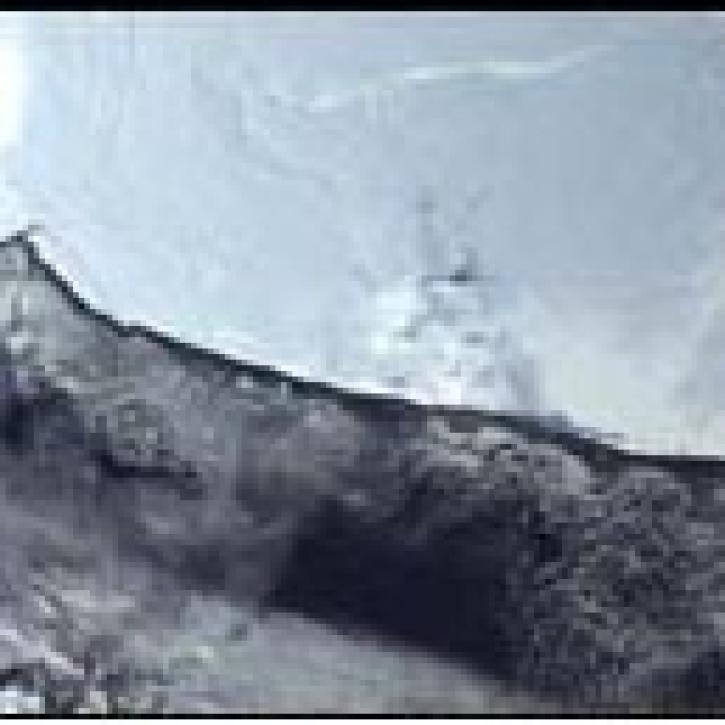
NASA ESDIS article describing research uses of data - MODIS aids the study and interpretation of the history of Antarctic temperature and climate records.
Feature Article
July 22, 2020

QuikSCAT provides a complete view of continental ice sheets on Greenland.
Feature Article
July 22, 2020

DINAS-COAST scientists create software to better understand coastal vulnerability to sea level rise under a variety of climate and socioeconomic scenarios.
Feature Article
July 22, 2020

A new biomass map of Africa will help answer a complex question: what are the global and local effects of land-use change in African forests?
Feature Article
July 22, 2020

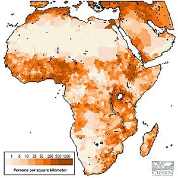
Scientists use a combination of field research, census data, and population projections to address the malaria problem in Africa.
Feature Article
July 22, 2020

Data from Jason and TOPEX/Poseidon give scientists the first detailed profile of a major tsunami event.
Feature Article
July 22, 2020
Scientists use TOPEX/Poseidon data to better gauge the impact of the ocean on climate change.
Feature Article
July 22, 2020
GPW data help scientists estimate Gross National Product density across the world.
Feature Article
July 22, 2020
SHOWING 8 OF 2379