We are in the process of migrating all NASA Earth science data sites into Earthdata from now until end of 2026. Not all NASA Earth science data and resources will appear here until then. Thank you for your patience as we make this transition.
Read about the Web Unification Project
Filters

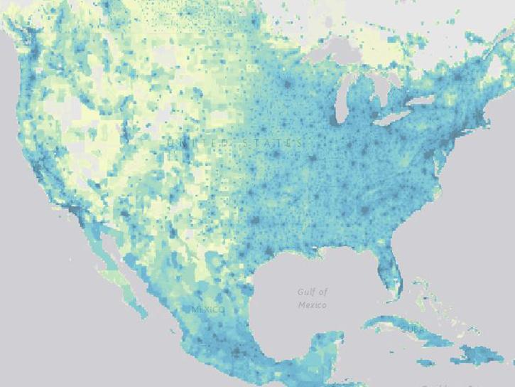
NASA's Socioeconomic Data and Applications Center has reached 100,000 registered users.
News
Nov. 13, 2020

Learn how to order Radiometrically Terrain Corrected (RTC) Sentinel-1 synthetic aperture radar (SAR) products through Vertex.
Tutorial
Nov. 11, 2020

Image of Precipitation Rate on 1 November 2020 from IMERG.
Worldview Image of the Week
Nov. 9, 2020
The SEDAC website will have limited functionality between 10 a.m. and 12 p.m. on November 19.
News
Nov. 5, 2020
VIIRS I-band (375 m) Active Fire and Corrected Reflectance products are the newest near real-time products available through LANCE.
News
Nov. 4, 2020
Two NASA GIBS-based projects are Global Winners in the 2016 NASA Space Apps Challenge
News
Nov. 4, 2020
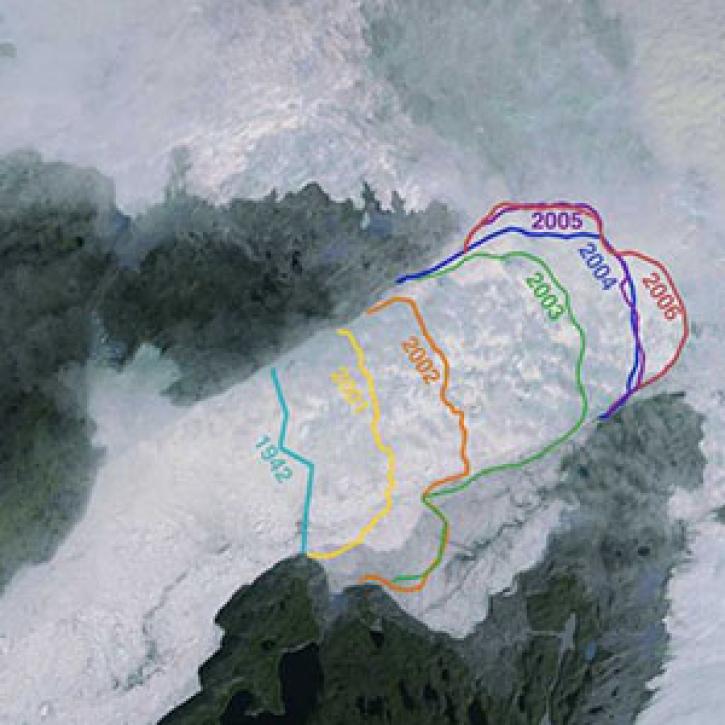
Greenland’s more than 200 major outlet glaciers are constantly on the move—many of them at some of the fastest speeds ever recorded.
Feature Article
Nov. 4, 2020

NASA's SMAP team turns raw satellite data into more than a dozen data products for data users around the world.
Feature Article
Nov. 4, 2020
SHOWING 8 OF 2379