We are in the process of migrating all NASA Earth science data sites into Earthdata from now until end of 2026. Not all NASA Earth science data and resources will appear here until then. Thank you for your patience as we make this transition.
Read about the Web Unification Project
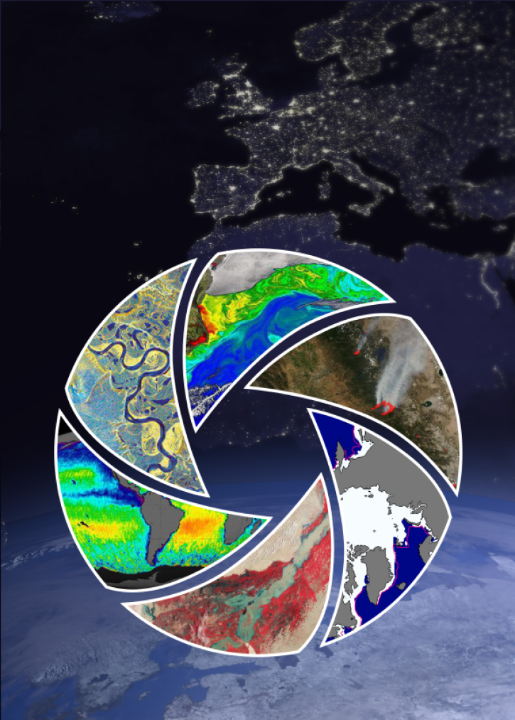
Filters

Explore and download data and imagery from EOSDIS for the the Nepalese region affected by the earthquake on April 25, 2015 and aftershocks.
Feature Article
Nov. 4, 2020

Determining risk from a wide range of natural hazards is only a mouse click away thanks to SEDAC's Hazards Mapper application.
Feature Article
Nov. 4, 2020

The CMR provides fast, efficient search and access to NASA Earth science data and data products for data users around the world.
Feature Article
Nov. 4, 2020

The Naval Research Laboratory and the University of North Dakota developed a level 3 gridded product specifically designed for quantitative applications including data assimilation and model validation. It is available through LANCE-MODIS.
News
Nov. 4, 2020

The MODIS Team at ORNL DAAC was awarded the national Doug D. Nebert Champion of the World award for their work developing the MODIS tool suite.
News
Nov. 4, 2020
Data discovery, access, use, and understanding are key functions of metadata. The application of ISO metadata standards to NASA Earth science data will help unify NASA Earth science metadata under a single international standard.
Feature Article
Nov. 4, 2020

Colored bands in an interferogram show the gradual sinking of land (subsidence) in Arizona’s McMullen Valley Groundwater Basin between April 2010 and May 2015.
Feature Article
Nov. 4, 2020

Global composites of 30m resolution Landsat imagery available in Worldview
Feature Article
Nov. 4, 2020
SHOWING 8 OF 2379