We are in the process of migrating all NASA Earth science data sites into Earthdata from now until end of 2026. Not all NASA Earth science data and resources will appear here until then. Thank you for your patience as we make this transition.
Read about the Web Unification Project
Filters
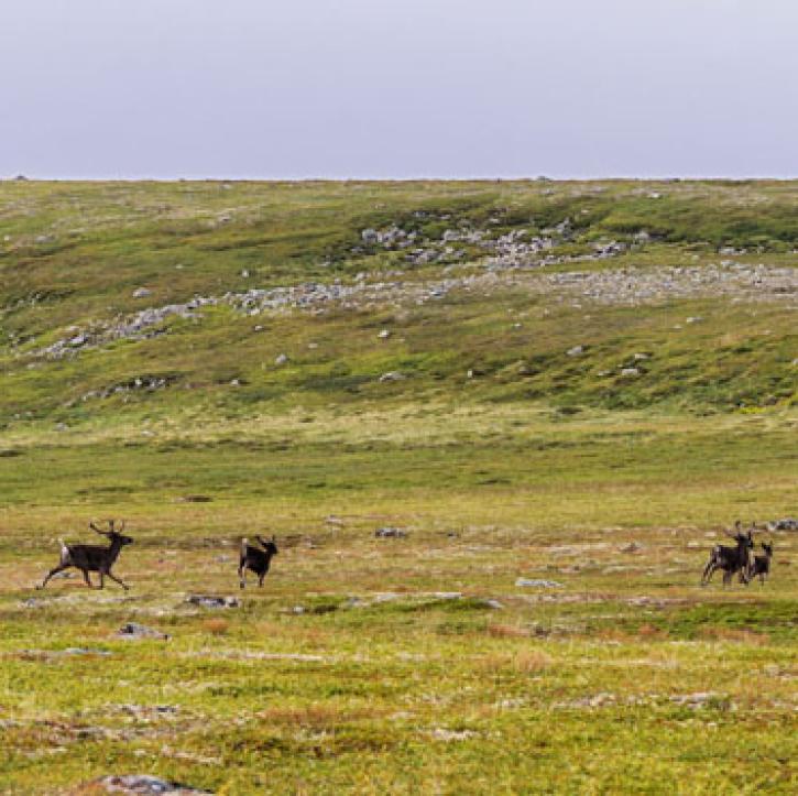
People and heat spread north into Arctic permafrost.
Feature Article
Dec. 27, 2020
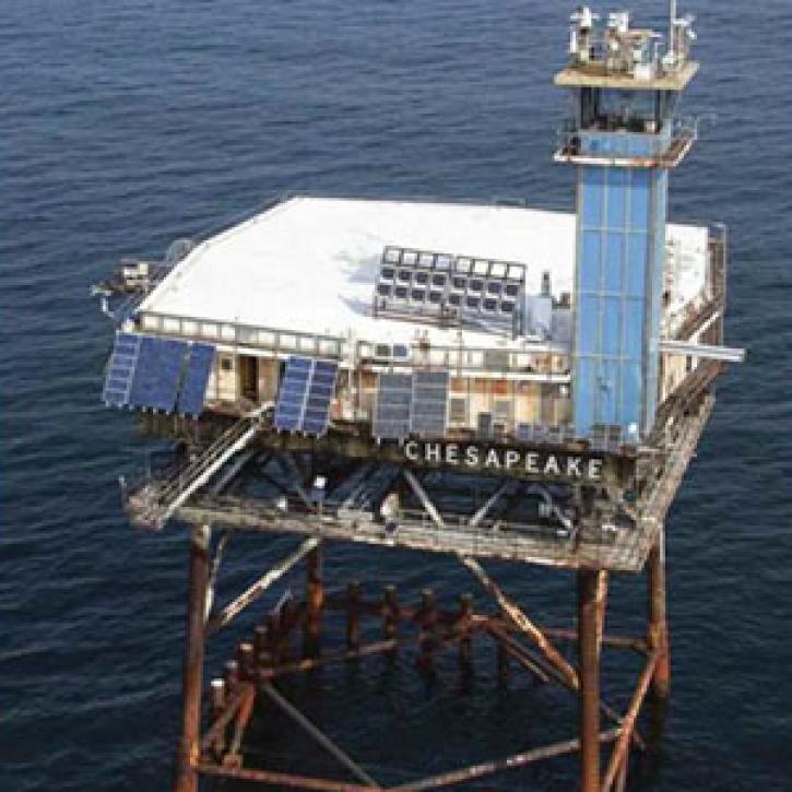
A lonely platform at sea helps balance Earth's energy budget.
Feature Article
Dec. 27, 2020
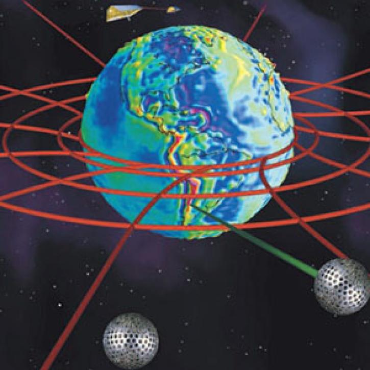
Astrophysics use Earth science satellites to explore general relativity.
Feature Article
Dec. 27, 2020

Tackling Denver's ozone requires looking high and low.
Feature Article
Dec. 27, 2020

Scientists have determined that Arctic sea ice is on the decline, leading to questions about future climate.
Feature Article
Dec. 27, 2020

Scientists and satellites watch as the least productive areas of the oceans expand.
Feature Article
Dec. 27, 2020
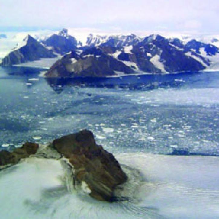
Researchers study the aftermath of the collapse of an Antarctic ice shelf to find out what might happen next.
Feature Article
Dec. 27, 2020
SHOWING 8 OF 2379