We are in the process of migrating all NASA Earth science data sites into Earthdata from now until end of 2026. Not all NASA Earth science data and resources will appear here until then. Thank you for your patience as we make this transition.
Read about the Web Unification Project
Filters
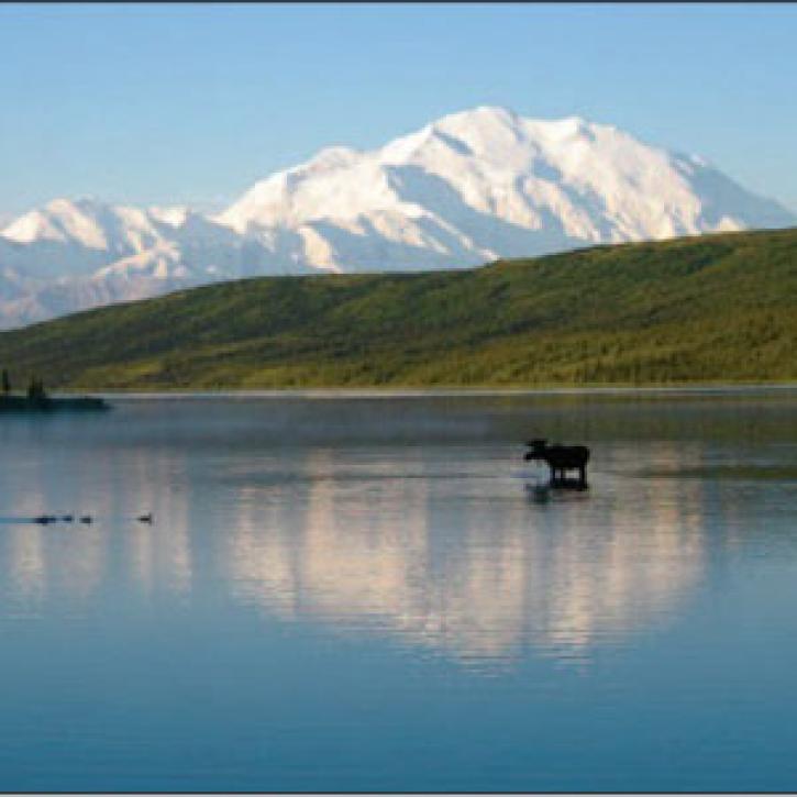
Scientists search for the causes of shrinking Alaskan wetlands.
Feature Article
Dec. 27, 2020
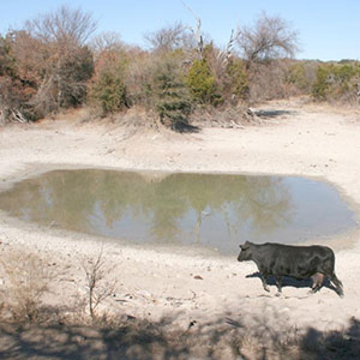
Ranchers want to know what to do about dry spells.
Feature Article
Dec. 27, 2020
New ways of looking at data help storm forecasters and emergency managers solve challenges and prevent hurricane losses.
Feature Article
Dec. 27, 2020

Drought turns the Fertile Crescent into a dust bowl.
Feature Article
Dec. 27, 2020

Open sharing of pollution data helps Chinese netizens brave the politics of murky air.
Feature Article
Dec. 27, 2020
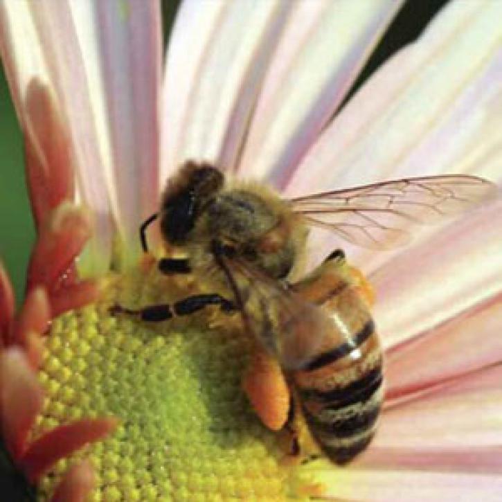
Honeybees signal a worrisome trend in plant-pollinator relationships.
Feature Article
Dec. 27, 2020
In Mexico’s escalating water crisis, a view from the sky provides answers.
Feature Article
Dec. 27, 2020
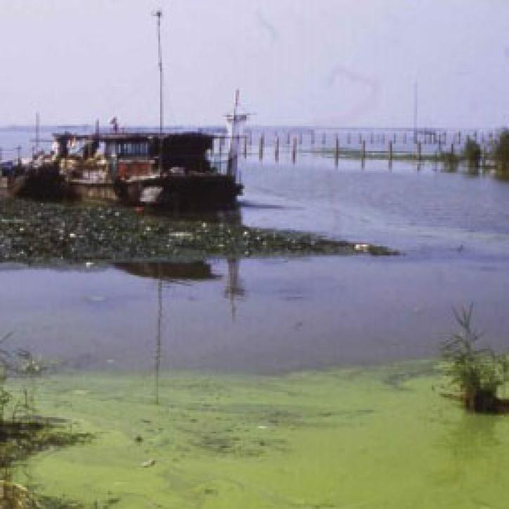
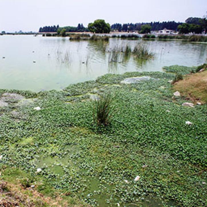
Scientists use satellites to help keep water fit to drink.
Feature Article
Dec. 27, 2020
SHOWING 8 OF 2379