We are in the process of migrating all NASA Earth science data sites into Earthdata from now until end of 2026. Not all NASA Earth science data and resources will appear here until then. Thank you for your patience as we make this transition.
Read about the Web Unification Project
Filters

Who uses NASA Earth science data? Dr. Róisín Commane, to study the effects of terrestrial pollution on the atmosphere’s chemical composition.
Data User Story
Dec. 22, 2020

Life on Earth would not be possible without the help of phytoplankton. Dr. Priscila Kienteca Lange uses NASA ocean biology data to study the biomass and distribution of these microscopic organisms.
Data User Story
Dec. 22, 2020

Who uses NASA Earth science data? Dr. Piyush Agram, for developing Synthetic Aperture Radar (SAR) data products.
Data User Story
Dec. 22, 2020
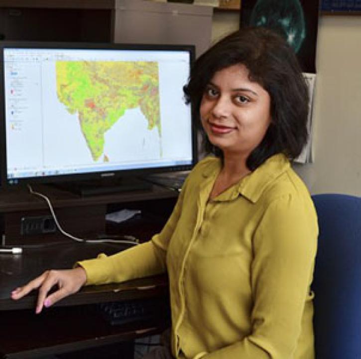
Who uses NASA Earth science data? Dr. Pinki Mondal, to study the effects of climate change on agricultural systems and communities.
Data User Story
Dec. 22, 2020

The global average sea level is rising. Dr. Philip Thompson uses NASA Earth science data to explore how—and when—this will affect vulnerable communities.
Data User Story
Dec. 22, 2020

Who uses NASA Earth science data? Dr. Paul Stackhouse, for developing new products for analyzing the global energy cycle and interfaces for using these data.
Data User Story
Dec. 22, 2020

Who uses NASA Earth science data? Dr. Nancy French, to study the effects of wildfires on forest ecosystems.
Data User Story
Dec. 22, 2020

Knowing where species live in a particular region is only one piece of an ecological puzzle. You also need to know why they live where they do. Dr. Monica Papeş uses NASA Earth science data to find out.
Data User Story
Dec. 22, 2020
SHOWING 8 OF 2379