We are in the process of migrating all NASA Earth science data sites into Earthdata from now until end of 2026. Not all NASA Earth science data and resources will appear here until then. Thank you for your patience as we make this transition.
Read about the Web Unification Project
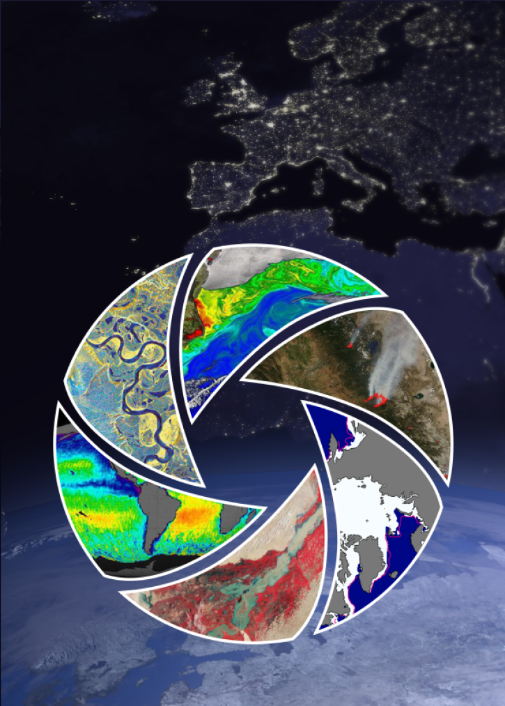
Filters

Determining risk from a wide range of natural hazards is only a mouse click away thanks to SEDAC's Hazards Mapper application.
Feature Article
Nov. 4, 2020

The CMR provides fast, efficient search and access to NASA Earth science data and data products for data users around the world.
Feature Article
Nov. 4, 2020
Data discovery, access, use, and understanding are key functions of metadata. The application of ISO metadata standards to NASA Earth science data will help unify NASA Earth science metadata under a single international standard.
Feature Article
Nov. 4, 2020

Colored bands in an interferogram show the gradual sinking of land (subsidence) in Arizona’s McMullen Valley Groundwater Basin between April 2010 and May 2015.
Feature Article
Nov. 4, 2020

Global composites of 30m resolution Landsat imagery available in Worldview
Feature Article
Nov. 4, 2020
NASA’s EOSDIS constantly assesses user needs, and uses this input to continually improve data, products, and services.
Feature Article
Nov. 4, 2020

Ground validation campaigns connect the dots between what is being remotely-sensed by a satellite instrument and ongoing Earth processes.
Feature Article
Nov. 4, 2020

The Multi-angle Imaging SpectroRadiometer (MISR) instrument aboard the Terra satellite passed over the Colby Fire at 10:45 a.m. on Jan. 16, 2014, about five hours after the fire was first reported. The instrument was able to acquire images of the fire at different angles, allowing scientists to create a 3-D view of the Colby fire and images of the height of the smoke/particulate dispersal.
Feature Article
Nov. 4, 2020
SHOWING 8 OF 534