We are in the process of migrating all NASA Earth science data sites into Earthdata from now until end of 2026. Not all NASA Earth science data and resources will appear here until then. Thank you for your patience as we make this transition.
Read about the Web Unification Project
Filters
Coding club meetings aim to increase users’ comfort with coding and help them get started with cloud computing.
Feature Article
Aug. 12, 2022

Scientists develop routine service for wildfire detection in the continental United States with a latency of less than 60 seconds.
Feature Article
July 20, 2022

New data layer lets users cut through the smoke to see surface features like active fire fronts and post-fire impacts.
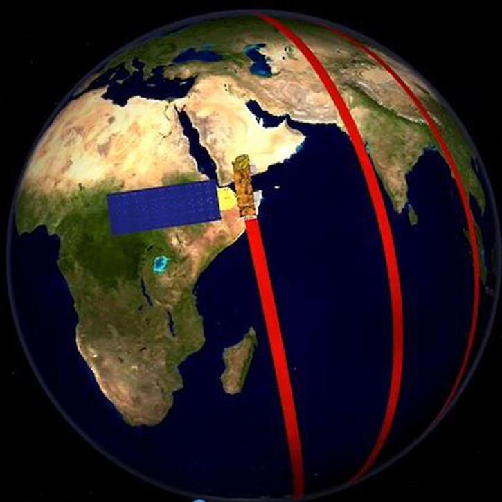
Feature Article
June 24, 2022

Spire data will be openly available to U.S. government-funded researchers and federal agencies through NASA’s CSDA program.
Feature Article
June 24, 2022

NASA Earth observation data contributed to the discovery of a previously unknown subpopulation of polar bears in Southeast Greenland.
Feature Article
June 23, 2022
The latest dataset from the GEDI mission provides gridded estimates of aboveground biomass density at greater accuracy and resolution than previously available.
Feature Article
May 19, 2022

The five new datasets are the result of a joint effort by NASA’s Satellite Needs Working Group Management Office (SNWG MO), ICESat-2 team, and Land, Atmosphere Near real-time Capability for EOS (LANCE).
Feature Article
May 19, 2022
Along with NASA engineers, NASA’s Earth Science Mission Operations (ESMO) Project is credited with Aqua’s remarkable longevity in space
Feature Article
May 19, 2022
SHOWING 8 OF 534