We are in the process of migrating all NASA Earth science data sites into Earthdata from now until end of 2026. Not all NASA Earth science data and resources will appear here until then. Thank you for your patience as we make this transition.
Read about the Web Unification Project
Data in Action
All across the planet, NASA Earth science data are used to meet real-world challenges.
Featured Data in Action
5 MIN READ
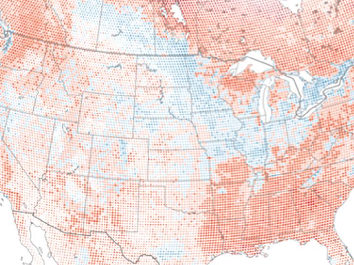
The eBird project uses NASA data and observations from amateur birdwatchers to provide insights into the decline in avian populations throughout North America.
June 17, 2025
5 MIN READ
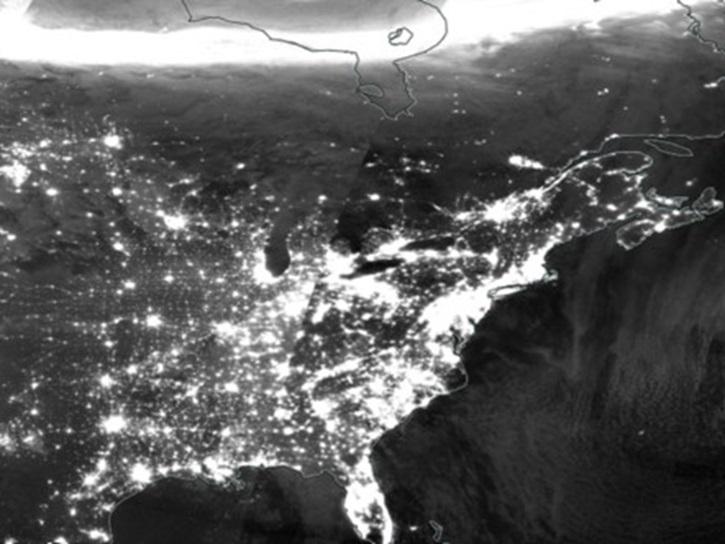
A comparison of aurora forecasts with actual satellite observations suggests VIIRS DNB data can enhance space weather prediction efforts.
May 30, 2025
Filters
8 MIN READ
Read highlights of three publications that detail how NASA Earth observation data informs earthquake prediction, the effects of wildfires on vegetation, and the impact of agriculture on African birds.
July 19, 2021
4 MIN READ
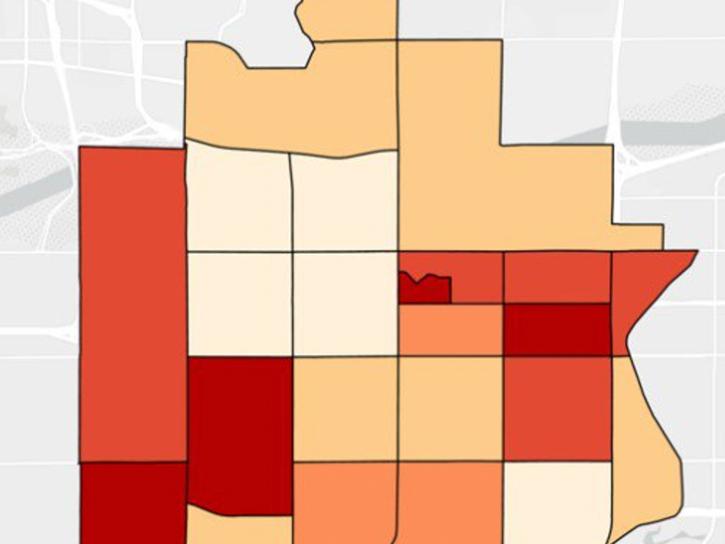
NASA DEVELOP participants used satellite data to identify priority areas for heat relief in Tempe, Arizona, creating tools to guide city officials in implementing targeted mitigation strategies.
June 29, 2021
2 MIN READ
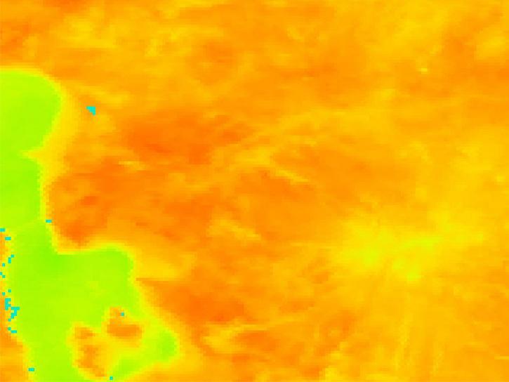
Datasets from the Estimating the Circulation of the Ocean (ECCO) project can transform ocean temperature monitoring.
May 26, 2021
7 MIN READ
Read highlights of three publications that detail how NASA Earth observation data informs forest structure mapping, disease vector tracking, and mineral identification.
April 26, 2021
2 MIN READ
Satellite data reveals the oceanic response to the record-setting season.
March 25, 2021
2 MIN READ
Researchers used remote sensing to investigate how subsurface ocean temperature variations have changed glaciers over the past 30 years.
Jan. 20, 2021
4 MIN READ
Learn how MODIS data helped researchers assess the impact of pandemic-triggered lockdowns on air pollution in India.
Jan. 4, 2021
6 MIN READ
Discover how LP DAAC data supports long-term vegetation trend analysis in East Africa and live fuel moisture estimation in fire-prone shrublands of Spain.
Nov. 30, 2020
Pagination
SHOWING 8 OF 179
