We are in the process of migrating all NASA Earth science data sites into Earthdata from now until end of 2026. Not all NASA Earth science data and resources will appear here until then. Thank you for your patience as we make this transition.
Read about the Web Unification Project
Data in Action
All across the planet, NASA Earth science data are used to meet real-world challenges.
Featured Data in Action

5 MIN READ
The eBird project uses NASA data and observations from amateur birdwatchers to provide insights into the decline in avian populations throughout North America.
June 17, 2025

5 MIN READ
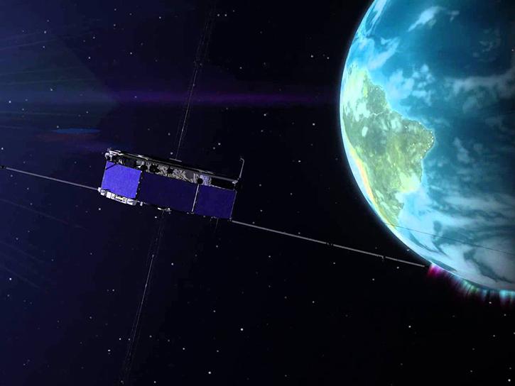
A comparison of aurora forecasts with actual satellite observations suggests VIIRS DNB data can enhance space weather prediction efforts.
May 30, 2025
Filters
9 MIN READ
The GNSS-based Upper Atmospheric Realtime Disaster Information and Alert Network (GUARDIAN) aims to enhance early warning of tsunamis.
Dec. 13, 2024

4 MIN READ
Artificial intelligence methods can be powerful tools to study our oceans.
Dec. 12, 2024

3 MIN READ
When natural disasters occur, NASA's Disaster Response Coordination System works to deliver data to stakeholders that can be used to guide decision-making.
Nov. 8, 2024
2 MIN READ
Satellite Needs Working Group (SNWG) solutions, such as Harmonized Landsat and Sentinel-2 (HLS), assist agencies with their existing workflows and decision-making processes by creating actionable science.
Oct. 3, 2024

4 MIN READ
Sentinel-6 and Multi-Scale Ultra-High Resolution data reveal how Hurricane Helene rapidly intensified in the warm Gulf waters.
Oct. 3, 2024

3 MIN READ
Earth observation data help scientists accurately measure changes to Earth's month-to-month mass and the estimated amount of water beneath its surface.
Aug. 13, 2024

5 MIN READ
Research shows that coastal sea surface temperatures could be used as a proxy for detecting changes that are expected in the cycling of water between the oceans and continents.
April 18, 2024

2 MIN READ
SWOT presents opportunities and challenges in characterizing sea surface height anomalies.
March 14, 2024
SHOWING 8 OF 186