Delivery of Suomi National Polar-orbiting Partnership (Suomi NPP) satellite data products will cease on November 1, 2026. Data users should transition now to alternative products from NOAA-21 and NOAA-20.
Suomi NPP data announcement
Featured Data Tools
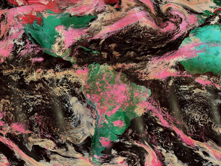
Worldview offers the capability to interactively browse over 1,200 global, full-resolution satellite imagery layers and download the underlying data.
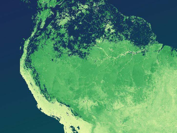
The Application for Extracting and Exploring Analysis Ready Samples (AppEEARS) offers a simple and efficient way to perform data access and transformation processes.
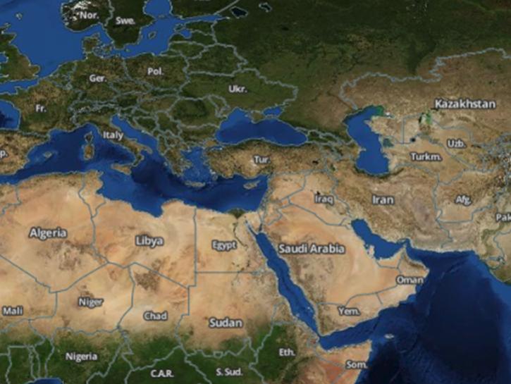
Earthdata Search enables data discovery, search, comparison, visualization, and access across NASA’s Earth science data holdings.
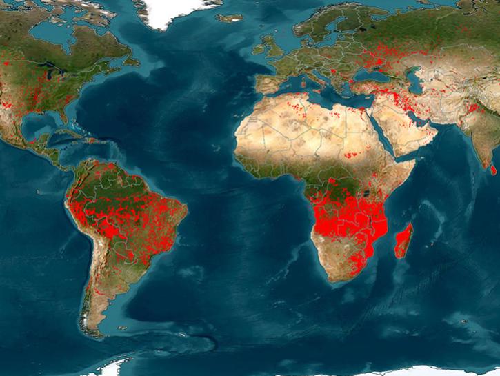
The Fire Information for Resource Management System (FIRMS) provides access to satellite imagery, active fire/hotspots, and related products to identify the location, extent, and intensity of wildfire activity.
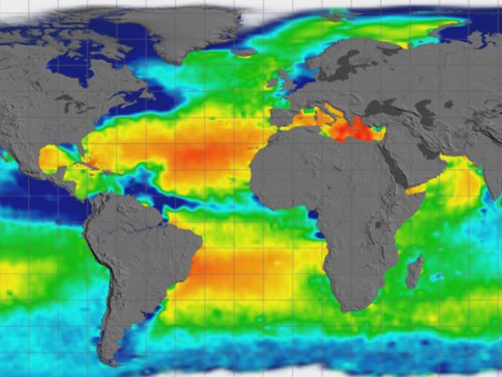
Earthdata GIS is a resource for distributing cloud-native, GIS-ready NASA Earth science data and services, including over 200 raster and feature geospatial services as well as resources such as thematic applications and ArcGIS StoryMaps.
Explore All Data Tools
| Tool Sort descending | Description | Services | |
|---|---|---|---|
| earthaccess | earthaccess is a python library that enables authentication, search, and access for NASA Earth science data with just a few lines of code. | Access, Search and Discovery | |
| Earthdata GIS | Earthdata GIS is a resource for distributing cloud-native, GIS-ready NASA Earth science data and services, including over 200 raster and feature geospatial services as well as resources such as thematic applications and ArcGIS StoryMaps. | Search and Discovery, Access, Geoprocessing, Visualization, Analysis, Comparison, Monitoring Natural Events, Subsetting | |
| Earthdata Search | Earthdata Search enables data discovery, search, comparison, visualization, and access across NASA’s Earth science data holdings. | Search and Discovery, Access, Cataloging, Cloud Computing, Downloading | |
| EONET | Use NASA Earth Observatory's Natural Event Tracker to look for natural events as they occur all across the planet. | Access, Data Curation, Monitoring Natural Events | |
| Field Campaign Explorer | The Field Campaign Explorer is an open source, cloud-based tool that combines multiple datasets to generate 3D views of atmospheric phenomena. | Analysis, Search and Discovery, Visualization | |
| FIRMS | The Fire Information for Resource Management System (FIRMS) provides access to satellite imagery, active fire/hotspots, and related products to identify the location, extent, and intensity of wildfire activity. | Access, Visualization | |
| FLOOD | The FLOOD viewer facilitates the use and evaluation of LANCE flood products by allowing the user to browse globally and over time, and to compare to other flood products. | Monitoring Natural Events, Search and Discovery, Visualization | |
| GCMD Keyword Viewer | Global Change Master Directory (GCMD) Keywords are a hierarchical set of controlled Earth Science vocabularies that help ensure Earth science data, services, and variables are described in a consistent and comprehensive manner. | Search and Discovery, Cataloging | |
| Giovanni | Giovanni is a web application for accessing, visualizing, and analyzing Earth science remote sensing data without downloading the data. | Search and Discovery, Analysis, Access, Visualization, Downloading, Subsetting | |
| GLIMS Glacier Database | Visualize and download data from the GLIMS Glacier Database using the map-based GLIMS Glacier Viewer or search and download data using custom parameters in the GLIMS Text Search Interface. | Downloading, Search and Discovery, Visualization |
SHOWING 10 OF 83