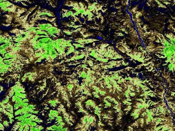
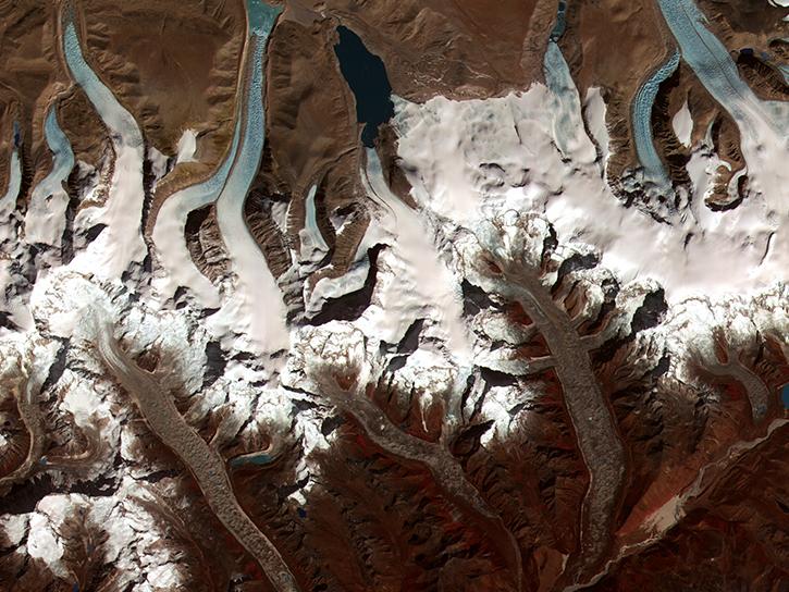
The GLIMS Glacier Database is a comprehensive, global database of land ice, including data from approximately 70 percent of the world's 200,000 glaciers. Data are collected by the Global Land Ice Measurements from Space (GLIMS), an international initiative to repeatedly survey the world’s glaciers and produce a constantly updated glacier inventory. Users can explore GLIMS Glacier Outline data via an interactive map called the GLIMS Glacier Viewer or the GLIMS Text Search Interface.
GLIMS Glacier Outlines are a data layer that contains the results of glacier mapping within the GLIMS initiative. Each polygon in the layer represents the extent of a particular glacier at a specific time, and may include information such as glacier geometry, glacier area, snowlines, supraglacial lakes, or proglacial lakes and rock debris. GLIMS Glacier Outlines can be downloaded as ESRI Shapefiles, MapInfo tables, Geographic Mark-up Language (GML) files, Keyhole Mark-up Language (KML, Google Earth), and the Generic Mapping Tools (GMT) multi-segment format.
The GLIMS Glacier Viewer map interface offers a number of layers that can be viewed and spatially queried including other glacier databases such as the World Glacier Inventory, Regional Coordinator Locations, and the GLIMS Glacier Outlines.
The GLIMS Text Search Interface is a text-based search feature. Users can refine their results through a number of customizable parameters. Resulting GLIMS Glacier Outlines can be viewed or downloaded individually, or the whole result set can be downloaded.


