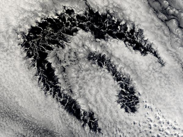
The First ISCCP Regional Experiment was a series of field missions that collected cirrus and marine stratocumulus cloud parameters from aircraft, satellite and surface-based measurements.
FIRE I Cirrus took place from 13 October through 2 November 1986 in the upper Midwest USA centered on Madison, Wisconsin. The experiment area extended from about 30N to 55N latitude and from 80W to 125W longitude.
PYRANOMETERS HYGROMETERS GUST PROBES Background Radiometric Temperature Sensors (BRTS) CLOUD LIQUID WATER PROBE THERMOMETERS PHOTOMETERS RADIOMETERS
Field Campaign Ground Site
LIDAR Pyrgeometer Pyranometers
Balloons
Rawinsondes
Satellites
Visible and Infrared Spin Scan Radiometer (VISSR) RADIOMETERS Advanced Very High Resolution Radiometer Advanced Very High Resolution Radiometer-2 TIROS Operational Vertical Sounder
FIRE Marine Stratus took place from 30 June through 19 July 1987 off the southwest coast of California. The experiment area extended from about 25N to 50N latitude and from 115W to 160W longitude.
Platforms
Instruments
Field Campaign Ground Site
CEILOMETERS MICROWAVE RADIOMETER Pyranometers Pyrgeometers Psychrometers Radiometers Sound Detection and Ranging C-LORAN Atmospheric Sounding System (CLASS) RADIOSONDES WIND PROFILERS
Balloons
Rawinsondes PSYCHROMETERS
NCAR Electra
PARTICLE DETECTORS ALTIMETERS AEROSOL MONITOR TEMPERATURE SENSORS WIND MONITOR Forward Scattering Spectrometer Probe (FSSP) GUST PROBES Hotwire Liquid Water Content Sensor HYGROMETERS LIDAR Particle Measuring System (PMS) PRESSURE TRANSDUCERS Precision Radiation Thermometers (PRT) PYRANOMETERS Pyrgeometer VIDEO CAMERA
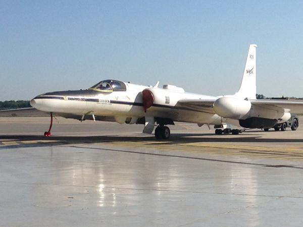
ER-2
LIDAR
C-130
PYRANOMETERS Pyrgeometer RADIOMETERS THERMOMETERS
Satellites
Visible and Infrared Spin Scan Radiometer (VISSR) RADIOMETERS Advanced Very High Resolution Radiometer-2 (AVHRR-2)
FIRE II Cirrus took place from 13 November through 7 December 1991 in the central USA, centered on Kansas. The experiment area extended from about 20N to 50N latitude and from 75W to 125W longitude.
Platforms
Instruments
Airplane
Condensation Nuclei Counter (CNC) CHEMILUMINESCENCE HYGROMETERS WIND MONITOR Hotwire Liquid Water Content Sensor ROSEMOUNT ICING DETECTOR PRESSURE TRANSDUCERS TEMPERATURE PROBES Thermometers Particle Measuring Systems 2D-C Probe Particle Measuring Systems 2D-P Probe Forward Scattering Spectrometer Probe (FSSP)
NASA WB-57F
Reversing Thermometer (RT) PRESSURE TRANSDUCERS Particle Measuring System (PMS) CLOUD LIQUID WATER PROBE THERMOMETERS
Balloons
Rawinsondes
Field Campaign Ground Sites
Precision Radiation Thermometers (PRT) BOLOMETERS PYRANOMETERS PYRHELIOMETERS Wind Profilers LIDAR Radio Detection and Ranging DOPPLER RADAR Stratospheric Infrared Interferometer Spectrometer (SIRIS) High Spectral Resolution Lidar (HSRL) Volume Imaging Lidar (VIL)
ER-2
LIDAR MODIS Airborne Simulator (MAS) High Resolution Interferometer Sounder (HIS)
Satellites
Visible and Infrared Spin Scan Radiometer (VISSR) RADIOMETERS Advanced Very High Resolution Radiometer (AVHRR) Computer
King Air B-200
GUST PROBES Hotwire Liquid Water Content Sensor HYGROMETERS PHOTOMETERS Particle Measuring Systems 2D-C Probe Particle Measuring Systems 2D-P Probe Precision Radiation Thermometers PYRANOMETERS Pyrgeometer RADIOMETERS Particle Measuring System (PMS)
The Atlantic Stratocumulus Transition Experiment (ASTEX) took place from 1 June through 25 June 1992 off the northwest coast of Africa near the Azores, Madeira, and Canary Island groups. The experiment area extended from 10N to 45N latitude and 40W to 10E longitude.
MIR was a passive airborne cross-track scanning radiometer that measured brightness temperature across nine channels and was used for clouds, precipitation, and atmospheric water vapor studies.