We are in the process of migrating all NASA Earth science data sites into Earthdata from now until end of 2026. Not all NASA Earth science data and resources will appear here until then. Thank you for your patience as we make this transition.
Read about the Web Unification Project
Terra Resources
Terra Learning Resources

Read stories from the 2014 issue of Sensing our Planet to learn about the many uses of MODIS data distributed by LP DAAC.
Data in Action
March 18, 2015

Learn how MODIS vegetation indices can be used to monitor variations in global vegetation conditions, such as seasonal leaf changes.
Data in Action
Dec. 23, 2014

Explore how LP DAAC data was used to forecast spring wheat yields in Canada, track elevation change at a U.S. coal mine, and examine land cover impacts on urban heat in Phoenix, Arizona.
Data in Action
Nov. 25, 2014

Learn how remote sensing data from space was used to detect and monitor the King Fire in California, showcasing the importance of satellite imagery in wildfire management.
Data in Action
Nov. 7, 2014

Explore how MODIS data supports research on tick-borne disease spread in Kansas, water stress in African rangelands, and long-term greenness trends in Alaska’s boreal ecosystems.
Data in Action
Oct. 28, 2014

Read highlights from the Spring/Summer 20214 term of NASA's DEVELOP program.
Data in Action
Oct. 21, 2014

ASTER data are used to evaluate the affects of Hurricane Ivan, a unique and destructive storm, after making two U.S. landfalls.
Data in Action
Sept. 30, 2014

Learn about intensified coastal warming along central-to-southern California in 2014 using satellite sea surface temperature imagery.
Data in Action
Sept. 4, 2014
SHOWING 8 OF 231
Terra News
View All News
Filters


Logbooks, satellites, and game theory help steward tuna in the Pacific.
Feature Article
Dec. 28, 2020
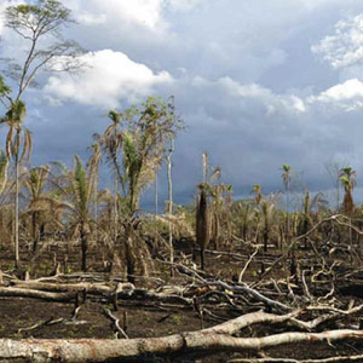
Researchers peer deep into tropical forests, weighing their status as climate balancers.
Feature Article
Dec. 28, 2020
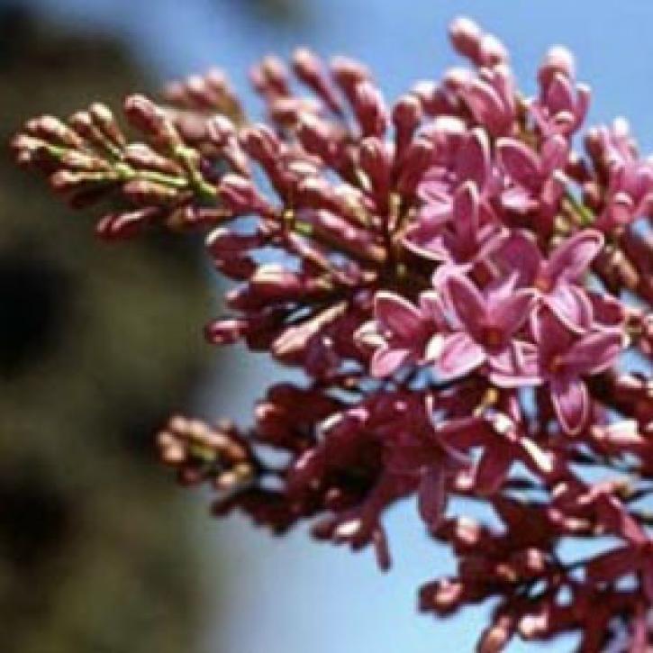
Ground observers and satellites monitor plant life cycles and the timing of seasons.
Feature Article
Dec. 28, 2020

Polar water fuels off-kilter rainfall in the tropics.
Feature Article
Dec. 28, 2020

Vegetation data helps researchers and resource managers develop a new approach to stopping species invasions.
Feature Article
Dec. 28, 2020

Image captured on 20 December 2020, by the MODIS instrument, aboard the Terra satellite.
Worldview Image of the Week
Dec. 28, 2020

As rapid urbanization transforms India's landscape, doctors face a new set of challenges in protecting public health.
Feature Article
Dec. 28, 2020
SHOWING 8 OF 449
Frequently Asked Questions
Earthdata Forum
Our online forum provides a space for users to browse thousands of FAQs about research needs, data, and data applications. You can also submit new questions for our experts to answer.
Submit Questions to Earthdata Forumand View Expert Responses