We are in the process of migrating all NASA Earth science data sites into Earthdata from now until end of 2026. Not all NASA Earth science data and resources will appear here until then. Thank you for your patience as we make this transition.
Read about the Web Unification Project
Terra Resources
Terra Learning Resources

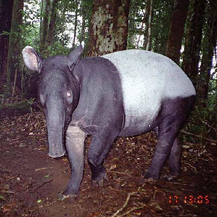
Examining changes and recovery of the Chandeleur Barrier Islands post-Hurricane Katrina using remote sensing data.
Data in Action
Aug. 26, 2015

See how a NASA DEVELOP team used MODIS data to create a drought-monitoring tool to benefit the agriculture and energy sectors.
Data in Action
July 1, 2015

See how MODIS data are used to determine areas susceptible to water-stress to show the relative health of the vegetation compared to the same area with healthy vegetation.
Data in Action
June 25, 2015

Discover how researchers used NASA remote sensing data to analyze the eruption of Calbuco Volcano and its impact on the surrounding environment.
Data in Action
May 29, 2015

This ARSET training focuses on regional and global observation resources for conservation management.
Training
May 5 - June 2, 2015

Learn how NASA data can inform crop decisions in desert areas, help farmers predict frost events, and understand why land change trends occur.
Data in Action
April 29, 2015

Researchers used MODIS and ASTER data to analyze how the Three Gorges Dam's construction altered vegetation along the Yangtze River's riparian zones.
Data in Action
April 29, 2015

See how scientists used ASTER thermal infrared imagery to study Ethiopia's volcanically active Afar Triangle.
Data in Action
March 25, 2015
SHOWING 8 OF 231
Terra News
View All News
Filters

Slow-moving landforms in Alaska decipher the frigid surface of Mars.
Feature Article
Dec. 28, 2020
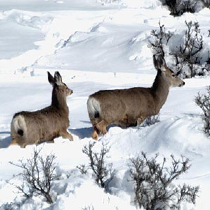
Satellite sensing of summer plants and winter snow helps biologists predict mule deer populations.
Feature Article
Dec. 28, 2020

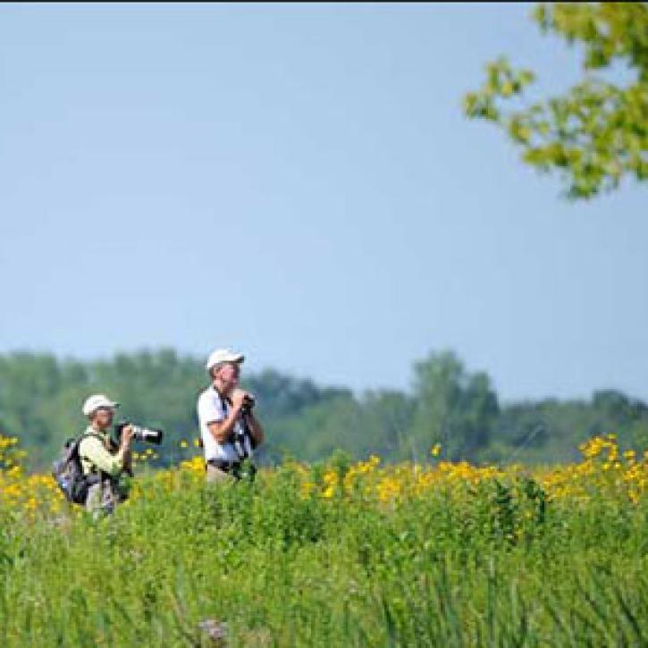
By sharing their observations, birdwatchers can help scientists understand where the various species of birds are throughout the year.
Feature Article
Dec. 28, 2020
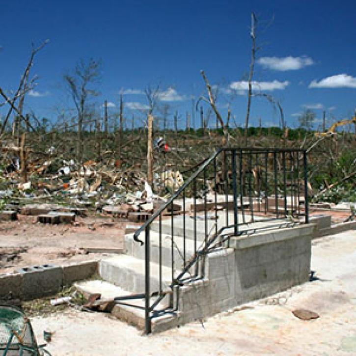
The effects of forest fires show up in a multi-satellite view of pollution.
Feature Article
Dec. 28, 2020
SHOWING 8 OF 449
Frequently Asked Questions
Earthdata Forum
Our online forum provides a space for users to browse thousands of FAQs about research needs, data, and data applications. You can also submit new questions for our experts to answer.
Submit Questions to Earthdata Forumand View Expert Responses