We are in the process of migrating all NASA Earth science data sites into Earthdata from now until end of 2026. Not all NASA Earth science data and resources will appear here until then. Thank you for your patience as we make this transition.
Read about the Web Unification Project
Suomi NPP Resources
Suomi NPP Learning Resources

Esta capacitación de ARSET cubre similitudes y diferencias entre MODIS y VIIRS para monitoreo de calidad del agua.
Training
Sept. 14-21, 2021
This ARSET training provides an overview of the similarities and differences between MODIS and VIIRS for water quality monitoring.
Training
Sept. 14-21, 2021

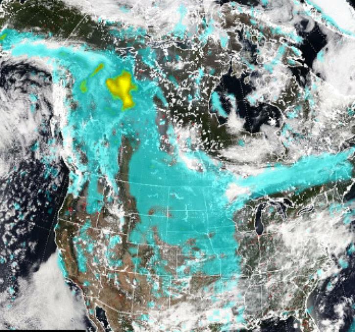
LANCE near real-time products enable the management of ongoing events; standard data products are heavily processed and intended for scientific research.
Data Basics
July 15, 2021

This ARSET training introduces how NASA earth observations can contribute to a greater understanding of energy management applications.
Training
June 1-22, 2021

Join us to learn how to use NASA’s Worldview, an imagery mapping and visualization tool that provides access to over 900 data imagery layers, many of which are available within hours, even minutes, to explore Earth’s interconnected processes and events.
Webinar
May 26, 2021

Esta capacitación de ARSET cubre el uso de observaciones terrestres para el monitoreo operativo de incendios.
Training
May 11-27, 2021
This ARSET training provides lectures and case studies focused on the use of Earth observations for operational fire monitoring.
Training
May 11-27, 2021

Read highlights of three publications that detail how NASA Earth observation data informs forest structure mapping, disease vector tracking, and mineral identification.
Data in Action
April 26, 2021
SHOWING 8 OF 67
Suomi NPP News
View All News
Filters

Base corrected reflectance image with aerosol optical thickness acquired on August 15, 2024, by the Suomi NPP/VIIRS instrument overlaid with AERONET sites showing ground-based aerosol optical depth measurements.
Worldview Image of the Week
Aug. 16, 2024

Satellite instruments have trouble discerning fire activity under heavy clouds or smoke cover. These conditions can limit active fire detection.
Blog
Aug. 9, 2024

A summary of datasets, products, and resources released by NASA's Distributed Active Archive Centers (DAACs) in July 2024.
News
Aug. 6, 2024
Pyrocumulonimbus (pyroCb) events (fire thunderstorms) caused by wildfires in western Canada were detected by the Ozone Mapping and Profiler Suite (OMPS) instrument July 19-24, 2024.
News
July 30, 2024

A summary of datasets, products, and resources released by NASA's Distributed Active Archive Centers (DAACs) in June 2024.
News
July 2, 2024

Data from NASA’s Land, Atmosphere Near real-time Capability for Earth observations (LANCE) are critical to the Navy’s tropical cyclone forecasts.
Data User Story
July 1, 2024

Active fire detection data from five geostationary sensors are available in NASA's Fire Information for Resource Management System (FIRMS) and collectively provide global coverage.
Blog
June 27, 2024

Global and US/Canada active Fire Maps enable users to visualize the location, extent, and impact of wildfires with minimal delay.
Feature Article
June 24, 2024
SHOWING 8 OF 330
Frequently Asked Questions
Earthdata Forum
Our online forum provides a space for users to browse thousands of FAQs about research needs, data, and data applications. You can also submit new questions for our experts to answer.
Submit Questions to Earthdata Forumand View Expert Responses