We are in the process of migrating all NASA Earth science data sites into Earthdata from now until end of 2026. Not all NASA Earth science data and resources will appear here until then. Thank you for your patience as we make this transition.
Read about the Web Unification Project
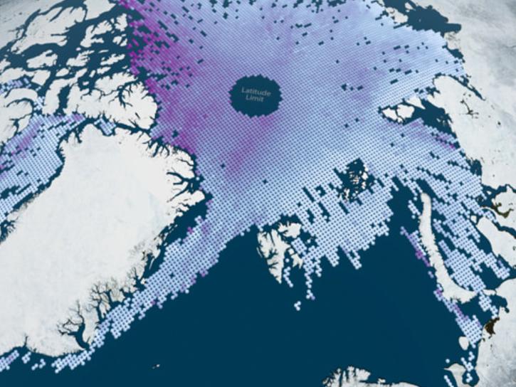
ICESat-2 Resources
Earthdata resources for users working with NASA’s NASA's Ice, Cloud, and Land Elevation Satellite-2 (ICESat-2) data include tutorials and other learning resources, news announcements such as instrument updates and data releases, user guides and related documents, and frequently asked questions.
ICESat-2 News
View All News
Filters
Join the NASA Ice, Cloud and land Elevation Satellite-2 (ICESat-2) Applications Team on Nov 16, 2022, for the ICESat-2 Atmospheric Applications and Forging Multi-mission Solutions Focus Session.
News
Nov. 7, 2022

The five new datasets are the result of a joint effort by NASA’s Satellite Needs Working Group Management Office (SNWG MO), ICESat-2 team, and Land, Atmosphere Near real-time Capability for EOS (LANCE).
Feature Article
May 19, 2022

Data from NASA’s NSIDC DAAC helps scientists like Dr. Kristin Poinar develop the next generation of models for forecasting sea-level rise from melting glaciers and ice sheets.
Data User Story
May 3, 2022

The new Sea Level Change Data Pathfinder highlights the different datasets used to piece together the status and drivers of sea level rise.
Feature Article
Feb. 18, 2022

Data from NASA’s NSIDC DAAC helps scientists like Dr. Melinda Webster study sea ice and overcome the challenges of working in the Arctic’s inhospitable environments.
Data User Story
June 24, 2021

Who uses NASA Earth science data? Dr. Nancy Glenn, to study dryland ecosystems.
Data User Story
April 22, 2021

Coastal ecosystems are some of Earth’s most biologically varied environments, especially coastal mangrove forests. Dr. Lagomasino uses Earth observing data to study these vital biomes.
Data User Story
Feb. 25, 2021
Measurements of remote celestial objects detail Earth’s orientation in space.
Feature Article
Dec. 27, 2020
SHOWING 8 OF 37
Frequently Asked Questions
Earthdata Forum
Our online forum provides a space for users to browse thousands of FAQs about research needs, data, and data applications. You can also submit new questions for our experts to answer.
Submit Questions to Earthdata Forumand View Expert Responses