We are in the process of migrating all NASA Earth science data sites into Earthdata from now until end of 2026. Not all NASA Earth science data and resources will appear here until then. Thank you for your patience as we make this transition.
Read about the Web Unification Project
Aqua Resources
Earthdata resources for users working with NASA’s Aqua data include tutorials and other learning resources, news announcements such as instrument updates and data releases, user guides and related documents, and frequently asked questions.
Aqua Learning Resources

This ARSET training introduces the Variable Infiltration Capacity Model, sources of satellite-derived input data, and implementation of the model.
Training
Feb. 15 - March 1, 2018

The ability to understand where fish are likely to be and when they are likely to be there is critical for the sustainable management of fisheries.
Data in Action
Feb. 1, 2018

This ARSET training teaches how to use Python scripts to map and analyze air quality data through hands-on exercises.
Training
Jan. 17-22, 2018

In Spring 2017, DEVELOP researchers in Phoenix used NASA data to determine how hot area bus stops are in summer to determine which ones need shelters.
Data in Action
Dec. 27, 2017

Learn how surface reflectance and albedo as measured by satellite data help scientists understand the topography and vegetation cover of Earth surfaces.
Data in Action
Nov. 30, 2017

The Application for Extracting and Exploring Analysis Ready Samples (AppEEARS) Area Sampler allows users to extract, visualize, and download NASA data for an area of interest.
Tutorial
Oct. 25, 2017

Learn how the interactive platform helps researchers analyze hurricane data.
Data in Action
Oct. 3, 2017

This ARSET training provides an overview of remote sensing products, tools, and applications for ecological modeling.
Training
Sept. 7-28, 2017
SHOWING 8 OF 184
Aqua News
View All News
Filters
With its high-resolution HawkEye instrument, SeaHawk has shown CubeSats are an inexpensive and timely way to obtain high-quality ocean color data.
Feature Article
Oct. 20, 2021

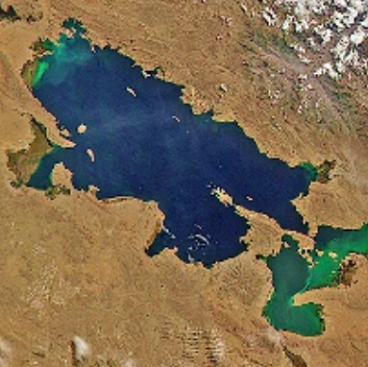
Image captured on Sep 12, 2021, by the MODIS instrument aboard the Aqua satellite.
Worldview Image of the Week
Oct. 20, 2021

Data available from NASA’s LP DAAC helps scientists like Dr. Robert Wright develop systems for autonomously detecting volcanic eruptions from space.
Data User Story
Oct. 20, 2021

POWER is releasing new user-defined analytic capabilities in version 2.
News
Aug. 16, 2021

View smoke in FIRMS using Corrected Reflectance Imagery or aerosol indices.
Blog
July 15, 2021

Based on the same MODIS algorithm, the new VIIRS Dark Target Aerosol product provides global satellite-derived measurements of Aerosol Optical Depth and aerosol properties over land and ocean.
News
July 12, 2021

Image captured on 26 June 2021, by the MODIS instrument, aboard the Aqua satellite.
Worldview Image of the Week
July 6, 2021

The Time Since Detection classification for MODIS and VIIRS active fire detection is available in the fire map for FIRMS Global and FIRMS US/Canada.
Blog
June 30, 2021
SHOWING 8 OF 356
Frequently Asked Questions
Earthdata Forum
Our online forum provides a space for users to browse thousands of FAQs about research needs, data, and data applications. You can also submit new questions for our experts to answer.
Submit Questions to Earthdata Forumand View Expert Responses