We are in the process of migrating all NASA Earth science data sites into Earthdata from now until end of 2026. Not all NASA Earth science data and resources will appear here until then. Thank you for your patience as we make this transition.
Read about the Web Unification Project
Sentinel-1 C-SAR Resources
Earthdata resources for users working with NASA’s Sentinel-1 C-band Synthetic Aperture Radar data include tutorials and other learning resources, news announcements such as instrument updates and data releases, user guides and related documents, and frequently asked questions.
Sentinel-1 C-SAR Learning Resources

Join us on Thursday, May 29, to learn about the NASA JPL OPERA Surface Displacement (OPERA-DISP) dataset and how to access and explore the data using ASF DAAC's Displacement Portal.
Webinar
May 14, 2025

Learn how to create and unwrap an interferogram with GMT5SAR script in the cloud for Windows in NASA’s Alaska Satellite Facility Distributed Active Archive Center (ASF DAAC) tutorial.
Tutorial
Feb. 3, 2025

Learn to create and unwrap an interferogram with GMT5SAR script in the cloud — OS X in this data recipe from NASA’s Alaska Satellite Facility Distributed Active Archive Center (ASF DAAC).
Data Recipe
Feb. 3, 2025

Learn how to create a deformation map from unwrapped interferograms in this data recipe from NASA’s Alaska Satellite Facility Distributed Active Archive Center (ASF DAAC).
Data Recipe
Feb. 3, 2025
Order Sentinel-1 interferometric synthetic aperture radar (InSAR) products On Demand from NASA’s Alaska Satellite Facility Distributed Active Archive Center (ASF DAAC) for individual SLC bursts.
StoryMap
Nov. 1, 2024
Learn how to phase unwrap an interferogram in this data recipe from NASA’s Alaska Satellite Facility Distributed Active Archive Center (ASF DAAC).
Data Recipe
Oct. 18, 2024
![This image shows Geocoded RGB Composite Image of Bucharest, Romania in Google Earth. Credit: ASF DAAC 2017; Contains modified Copernicus Sentinel data [2015] processed by ESA](https://earthdata.nasa.gov/s3fs-public/styles/hds_generic_card/public/2024-09/rgb-resulting-image.jpg?VersionId=g3VhlSo.o6e0osh0mRBH1pszhjJKgbgX&itok=7pmIc5-N)
In this data recipe, you will learn how to create a coherence-based multi-temporal color composite of land coverage using the European Space Agency (ESA) Sentinel-1 Toolbox.
Data Recipe
Oct. 2, 2024
This data recipe provides steps to construct a Harmony request URL to find S-1 InSAR data and perform subsetting using the GDAL Subsetter.
Data Recipe
Oct. 2, 2024
SHOWING 8 OF 57
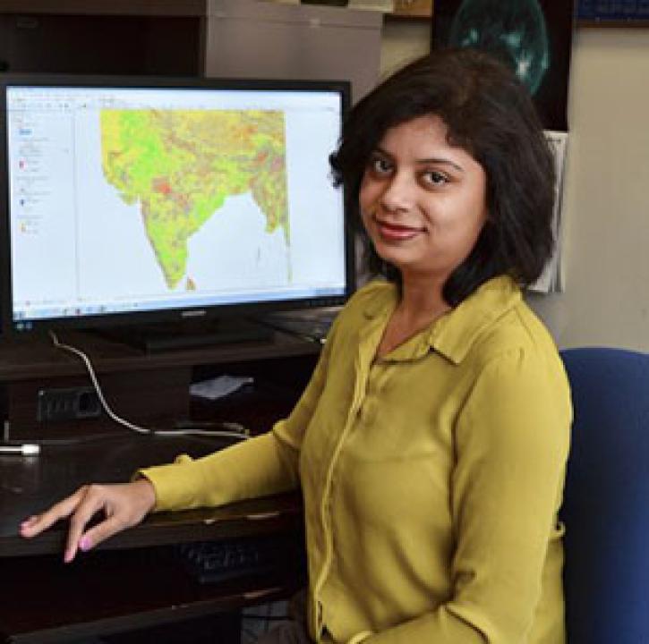
Who uses NASA Earth science data? Dr. Pinki Mondal, to study the effects of climate change on agricultural systems and communities.
Data User Story
Dec. 22, 2020

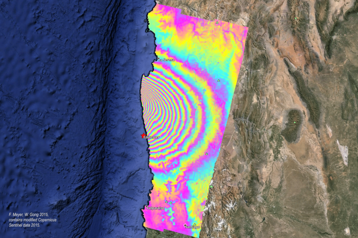
More than half of Earth’s population lives in urban environments. NASA Earth science data help Dr. Kristy Tiampo explore the hazards that can impact these areas.
Data User Story
Dec. 22, 2020
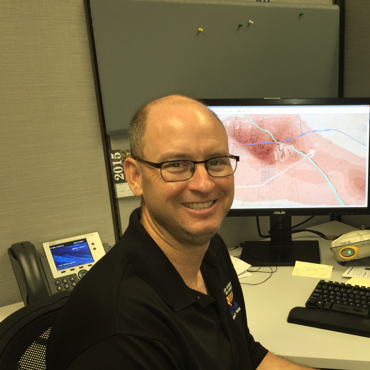
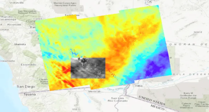
Who uses NASA Earth science data? Brian Conway, to monitor land subsidence and the impacts of this on Arizona’s water resources.
Data User Story
Dec. 21, 2020

Who uses NASA Earth science data? Ben Holt, to study polar sea ice, coastal oceanography, and marine pollution
Data User Story
Dec. 21, 2020
SHOWING 4 OF 38
Frequently Asked Questions
Earthdata Forum
Our online forum provides a space for users to browse thousands of FAQs about research needs, data, and data applications. You can also submit new questions for our experts to answer.
Submit Questions to Earthdata Forumand View Expert Responses