We are in the process of migrating all NASA Earth science data sites into Earthdata from now until end of 2026. Not all NASA Earth science data and resources will appear here until then. Thank you for your patience as we make this transition.
Read about the Web Unification Project
L-SAR Resources
Earthdata resources for users working with the data provided by the L-band synthetic aperture radar (L-SAR) aboard the NASA/Indian Space Research Organization SAR (NISAR) platform include tutorials and other learning resources, news announcements such as instrument updates and data releases, user guides and related documents, and frequently asked questions.
L-SAR Learning Resources
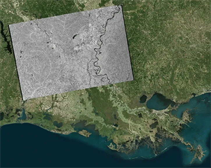
This data recipe shows users how to geocode Sentinel-1 GRD products using the Geospatial Data Abstraction Library (GDAL) raster utilities.
Data Recipe
Oct. 18, 2017
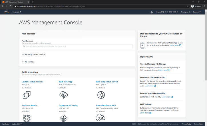
This data recipe guides users through the AWS sign-up sign-up and configuration processes before creating InSAR products.
Data Recipe
Oct. 18, 2015
SHOWING 2 OF 18

This video features Day 1 of the NISAR ISRO Community Workshop held on Aug. 3, 2023. It includes an introduction to SAR, Vertex, InSAR, and HyP3.
Webinar
Aug. 3, 2023

Data from NASA’s ASF DAAC helps scientists like Dr. Zhong Lu develop satellite radar remote-sensing techniques for studying geohazards.
Data User Story
July 28, 2022
Synthetic aperture radar may give researchers an opportunity to study volcanoes in finer detail than ever before.
Data User Story
Jan. 23, 2022

Talking about Synthetic Aperture Radar (SAR) with Dr. Franz Meyer, Chief Scientist, Alaska Satellite Facility (ASF)
Data User Story
May 12, 2021
SHOWING 4 OF 31
Frequently Asked Questions
Earthdata Forum
Our online forum provides a space for users to browse thousands of FAQs about research needs, data, and data applications. You can also submit new questions for our experts to answer.
Submit Questions to Earthdata Forumand View Expert Responses