We are in the process of migrating all NASA Earth science data sites into Earthdata from now until end of 2026. Not all NASA Earth science data and resources will appear here until then. Thank you for your patience as we make this transition.
Read about the Web Unification Project
L-SAR Resources
Earthdata resources for users working with the data provided by the L-band synthetic aperture radar (L-SAR) aboard the NASA/Indian Space Research Organization SAR (NISAR) platform include tutorials and other learning resources, news announcements such as instrument updates and data releases, user guides and related documents, and frequently asked questions.
L-SAR Learning Resources

This three-part ARSET training covers flood monitoring via remote sensing, NASA flood products, and GEOGLOWS streamflow predictions.
Training
June 18-25, 2026

Join us on Jan. 21, 2026, to explore how NISAR will revolutionize how we monitor Earth.
Webinar
Jan. 12, 2026

Our Earth Data Officer, Katie Baynes, spoke at the Federal GIS Conference Plenary. In case you missed her presentation, here is a story map for you to catch up on how NASA Earth data can be leveraged in your GIS project.
StoryMap
March 5, 2025
Work with data from the NASA/ISRO (Indian Space Research Organization) Synthetic Aperture Radar (NISAR) platform in ArcGIS Pro.
StoryMap
Feb. 26, 2025
Learn how to work with NASA/Indian Space Research Organization (ISRO) Synthetic Aperture Radar (NISAR) data in the HDF5 format.
Webinar
Jan. 24, 2024
This video features an introduction to the agenda and logistics for Day 2 of the NISAR Early Adopters Program two-day workshop, January 23-24, 2024.
Webinar
Jan. 23, 2024
Learn how to discover, access, and work with NASA Observational Products for End-Users from Remote Sensing Analysis (OPERA) data in examining soil moisture using Vertex and a Jupyter Notebook data recipe.
Webinar
Jan. 23, 2024

This workshop provides an introduction to a time series with InSAR.
Webinar
Jan. 23, 2024
SHOWING 8 OF 18

In this video, Rudi Gens provides an introduction to NASA’s Observational Products for End-Users from Remote Sensing Analysis (OPERA) project data product suite.
Webinar
Jan. 23, 2024

A summary of datasets, products, and resources released by NASA’s Distributed Active Archive Centers (DAACs) in December 2023.
News
Jan. 4, 2024

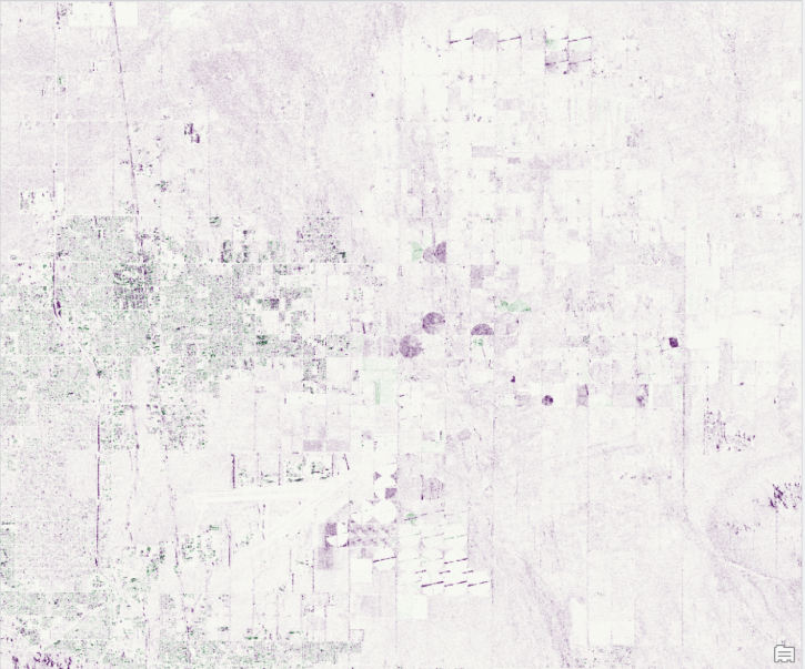
The NASA/Indian Space Research Organization (ISRO) SAR (NISAR) project team has created sample products using JAXA ALOS-1 PALSAR data as a surrogate for NISAR.
News
Dec. 19, 2023

The Multi-Mission Algorithm and Analysis Platform provides the aboveground terrestrial carbon research community with airborne and space-based data that provides improved geographic coverage at better spatial resolutions.
Blog
Dec. 7, 2023
SHOWING 4 OF 31
Frequently Asked Questions
Earthdata Forum
Our online forum provides a space for users to browse thousands of FAQs about research needs, data, and data applications. You can also submit new questions for our experts to answer.
Submit Questions to Earthdata Forumand View Expert Responses