We are in the process of migrating all NASA Earth science data sites into Earthdata from now until end of 2026. Not all NASA Earth science data and resources will appear here until then. Thank you for your patience as we make this transition.
Read about the Web Unification Project
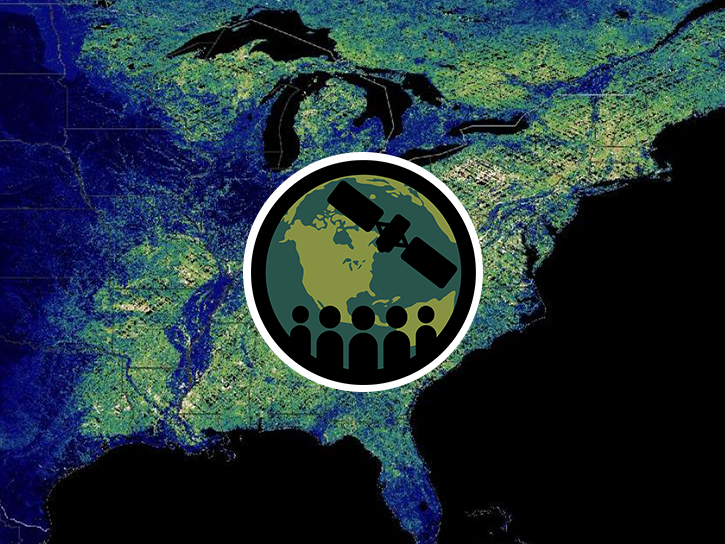
GEDI Lidar Resources
Earthdata resources for users working with NASA’s Global Ecosystem Dynamics Investigation (GEDI) data include tutorials and other learning resources, news announcements, and frequently asked questions.
The GEDI Learning Resources listed below are available on the GEDI Data Resources GitHub repository which provides guides, and Python and R tutorials to help users access and work with GEDI data. This repository is public and open to contributions.
GEDI Lidar Learning Resources

Participants learn how the OBIWAN application builds on GEDI’s model-based statistical framework and underlying data infrastructure.
Training
May 21-28, 2026
Los participantes aprenderán cómo la aplicación OBIWAN se basa en el marco estadístico y la infraestructura informática subyacente de GEDI.
Training
May 21-28, 2026
Esta capacitación de ARSET guía a los participantes a través de los fundamentos teóricos de las capacidades del lidar GEDI, aprendiendo a acceder y visualizar los datos de GEDI.
Training
Oct. 23 - Nov. 6, 2025
This ARSET training walks participants through the theoretical background of GEDI lidar capabilities by learning to access and plot GEDI data.
Training
Oct. 23 - Nov. 6, 2025

Use NASA's CMR API to programmatically find GEDI data.
External Resource
GitHub Repository
Feb. 21, 2024
Subset, visualize, filter, and plot GEDI data.
External Resource
GitHub Repository
Feb. 20, 2024

Subset, visualize, filter, and plot GEDI data.
External Resource
GitHub Repository
Feb. 21, 2024
Subset, visualize, filter, and plot GEDI waveform data.
External Resource
GitHub Repository
Feb. 21, 2024
SHOWING 8 OF 31

Find EOSDIS dataset and data tool news, top stories, featured data images, webinars, links to new learning resources, data recipes, and Data User Profiles.
News
July 2, 2021
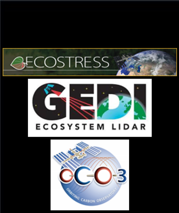
The ECOSTRESS, GEDI, and OCO-3 Earth observing missions aboard the International Space Station (ISS) will help scientists better understand Earth systems.
Feature Article
April 22, 2021

Who uses NASA Earth science data? Dr. Nancy Glenn, to study dryland ecosystems.
Data User Story
April 22, 2021

The ability for Synthetic Aperture Radar (SAR) to create high-resolution imagery regardless of atmospheric conditions makes it a key technology for studies of change over time. Dr. Paul Siqueira’s work improves these sensors and the Earth observing data they collect.
Data User Story
April 22, 2021
SHOWING 4 OF 32
Frequently Asked Questions
Earthdata Forum
Our online forum provides a space for users to browse thousands of FAQs about research needs, data, and data applications. You can also submit new questions for our experts to answer.
Submit Questions to Earthdata Forumand View Expert Responses