We are in the process of migrating all NASA Earth science data sites into Earthdata from now until end of 2026. Not all NASA Earth science data and resources will appear here until then. Thank you for your patience as we make this transition.
Read about the Web Unification Project
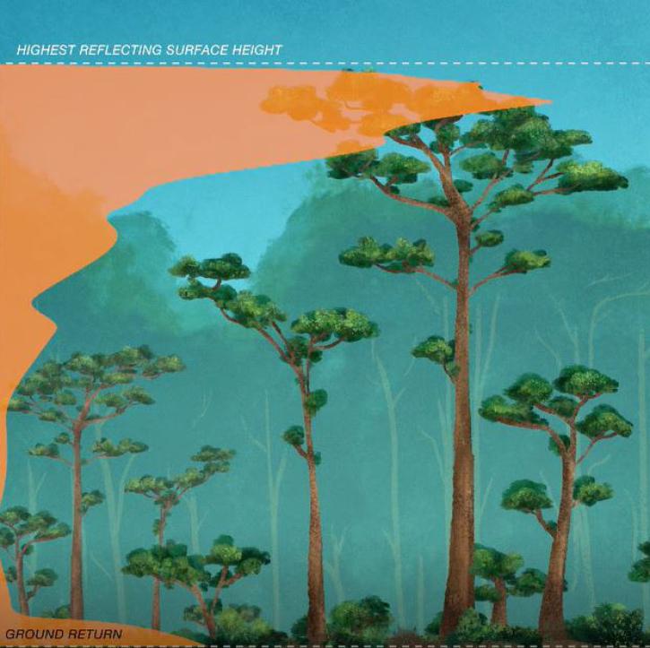
GEDI Lidar Resources
Earthdata resources for users working with NASA’s Global Ecosystem Dynamics Investigation (GEDI) data include tutorials and other learning resources, news announcements, and frequently asked questions.
The GEDI Learning Resources listed below are available on the GEDI Data Resources GitHub repository which provides guides, and Python and R tutorials to help users access and work with GEDI data. This repository is public and open to contributions.
GEDI Lidar Learning Resources

Participants learn how the OBIWAN application builds on GEDI’s model-based statistical framework and underlying data infrastructure.
Training
May 21-28, 2026
Los participantes aprenderán cómo la aplicación OBIWAN se basa en el marco estadístico y la infraestructura informática subyacente de GEDI.
Training
May 21-28, 2026
Esta capacitación de ARSET guía a los participantes a través de los fundamentos teóricos de las capacidades del lidar GEDI, aprendiendo a acceder y visualizar los datos de GEDI.
Training
Oct. 23 - Nov. 6, 2025
This ARSET training walks participants through the theoretical background of GEDI lidar capabilities by learning to access and plot GEDI data.
Training
Oct. 23 - Nov. 6, 2025

Use NASA's CMR API to programmatically find GEDI data.
External Resource
GitHub Repository
Feb. 21, 2024
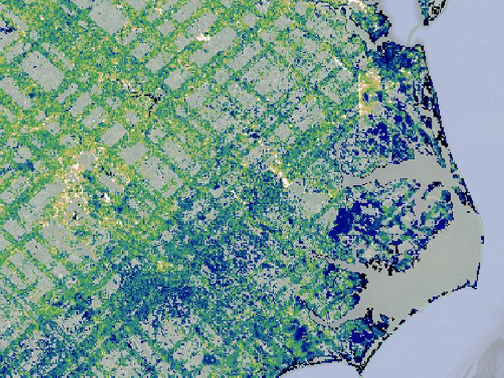
Subset, visualize, filter, and plot GEDI data.
External Resource
GitHub Repository
Feb. 20, 2024

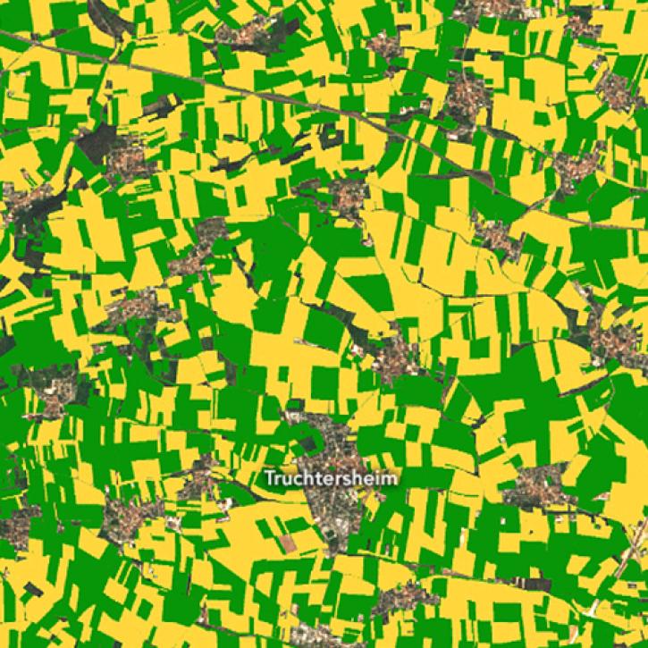
Subset, visualize, filter, and plot GEDI data.
External Resource
GitHub Repository
Feb. 21, 2024
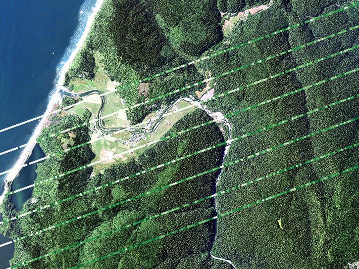
Subset, visualize, filter, and plot GEDI waveform data.
External Resource
GitHub Repository
Feb. 21, 2024
SHOWING 8 OF 31
The GEDI instrument has been moved to an alternate location on the International Space Station for a period of 13 to 18 months.
News
March 17, 2023
The latest dataset from the GEDI mission provides gridded estimates of aboveground biomass density at greater accuracy and resolution than previously available.
Feature Article
May 19, 2022
New research uses 3D lidar profiles of Earth's surface to map where corn is being grown.
Feature Article
May 18, 2022
New dataset provides the first high-resolution 3D aboveground biomass density estimates for tropical and temperate forests around the globe.
Feature Article
Jan. 25, 2022
SHOWING 4 OF 32
Frequently Asked Questions
Earthdata Forum
Our online forum provides a space for users to browse thousands of FAQs about research needs, data, and data applications. You can also submit new questions for our experts to answer.
Submit Questions to Earthdata Forumand View Expert Responses