We are in the process of migrating all NASA Earth science data sites into Earthdata from now until end of 2026. Not all NASA Earth science data and resources will appear here until then. Thank you for your patience as we make this transition.
Read about the Web Unification Project
AVIRIS-NG Resources
AVIRIS-NG Learning Resources

This ARSET training identifies types of remote sensing data and products that can be used for terrestrial invasive species mapping and monitoring.
Training
Sept. 30, 2025
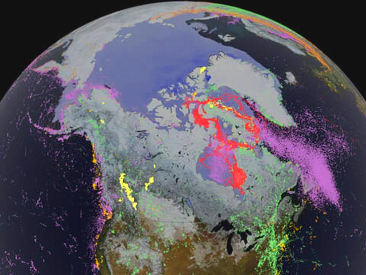
This ARSET training highlights the use of hyperspectral data for measuring and monitoring terrestrial and aquatic biodiversity.
Training
March 27 - April 5, 2023
Learn how to access data collected during the summer 2017 ABoVE airborne campaign.
Tutorial
Jan. 6, 2019
SHOWING 3 OF 3

A summary of datasets, products, and resources released by NASA’s Distributed Active Archive Centers (DAACs) in July 2025.
News
Aug. 13, 2025
A summary of datasets, products, and resources released by NASA’s Distributed Active Archive Centers (DAACs) in June 2025.
News
July 18, 2025
A summary of datasets, products, and resources released by NASA’s Distributed Active Archive Centers (DAACs) in May 2025.
News
June 12, 2025

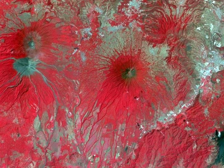
NASA has long used imaging spectroscopy to peer into space. Now, scientists are using the technology to take a closer look at Earth.
Data User Story
Feb. 15, 2024
SHOWING 4 OF 4
Frequently Asked Questions
Earthdata Forum
Our online forum provides a space for users to browse thousands of FAQs about research needs, data, and data applications. You can also submit new questions for our experts to answer.
Submit Questions to Earthdata Forumand View Expert Responses