We are in the process of migrating all NASA Earth science data sites into Earthdata from now until end of 2026. Not all NASA Earth science data and resources will appear here until then. Thank you for your patience as we make this transition.
Read about the Web Unification Project
ASTER Resources
View related stories and other resources for the Advanced Spaceborne Thermal Emission and Reflection Radiometer (ASTER) instrument.
ASTER Learning Resources

Discover how NASA data support amphibian habitat mapping, classification of Amazonian wetland vegetation, and flood regime monitoring in Botswana’s Okavango Delta.
Data in Action
Oct. 28, 2015

Examining changes and recovery of the Chandeleur Barrier Islands post-Hurricane Katrina using remote sensing data.
Data in Action
Aug. 26, 2015

See how a NASA DEVELOP team used MODIS data to create a drought-monitoring tool to benefit the agriculture and energy sectors.
Data in Action
July 1, 2015

Discover how researchers used NASA remote sensing data to analyze the eruption of Calbuco Volcano and its impact on the surrounding environment.
Data in Action
May 29, 2015

Learn how NASA data can inform crop decisions in desert areas, help farmers predict frost events, and understand why land change trends occur.
Data in Action
April 29, 2015

Researchers used MODIS and ASTER data to analyze how the Three Gorges Dam's construction altered vegetation along the Yangtze River's riparian zones.
Data in Action
April 29, 2015

See how scientists used ASTER thermal infrared imagery to study Ethiopia's volcanically active Afar Triangle.
Data in Action
March 25, 2015

Read stories from the 2014 issue of Sensing our Planet to learn about the many uses of MODIS data distributed by LP DAAC.
Data in Action
March 18, 2015
SHOWING 8 OF 62

Dr. Bernard Hubbard uses NASA Earth science data to help locate mineral resources and assess natural hazards.
Data User Story
April 22, 2021
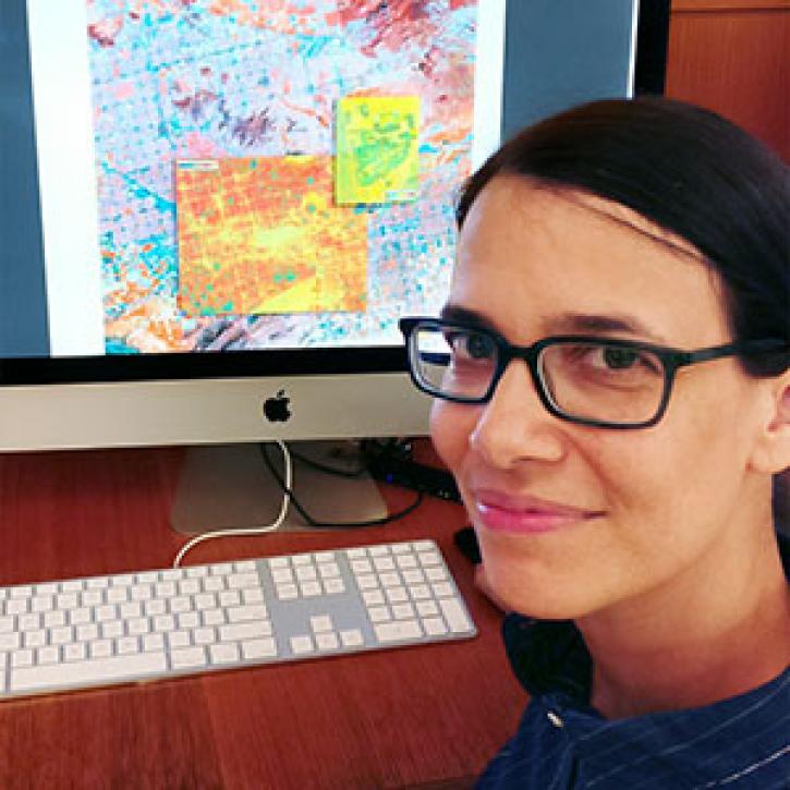
Who uses NASA Earth science data? Lela Prashad, for exploring how people live in and experience urban environments.
Data User Story
April 22, 2021

ALTUS Cumulus Electrification Study (ACES) help validate LIS data to examine thunderstorms.
Feature Article
April 19, 2021

SRTMGL1 coverage now includes Africa, Europe, North America, South America, Asia, and Australia in 1° X 1° tiles at 1 arc second (about 30 meters) resolution.
News
March 1, 2021
SHOWING 4 OF 63
Frequently Asked Questions
Earthdata Forum
Our online forum provides a space for users to browse thousands of FAQs about research needs, data, and data applications. You can also submit new questions for our experts to answer.
Submit Questions to Earthdata Forumand View Expert Responses