We are in the process of migrating all NASA Earth science data sites into Earthdata from now until end of 2026. Not all NASA Earth science data and resources will appear here until then. Thank you for your patience as we make this transition.
Read about the Web Unification Project
ASTER Resources
View related stories and other resources for the Advanced Spaceborne Thermal Emission and Reflection Radiometer (ASTER) instrument.
ASTER Learning Resources

Read highlights of three publications that detail how NASA Earth observation data informs chickpea agriculture growth in India, harmful sediment plumes affecting Colombian coral reefs, and new gold sites in Egypt's Central Eastern Desert.
Data in Action
July 27, 2016

In Spring 2016, DEVELOP researchers used MODIS data to identify areas of potential palm oil production and the risks of rainforest deforestation in Indonesia.
Data in Action
June 29, 2016

See ASTER data used to study tornado damage in Joplin, Missouri.
Data in Action
May 26, 2016

Learn how remote sensing helps classify minerals and identify faults, the effectiveness of an afforestation program, and assessing forests and grasslands disturbance.
Data in Action
May 20, 2016

Learn about ASTER products, how they can be applied to variety of studies, and how to access the data.
Webinar
May 6, 2016

Learn how NASA's ASTER data helps monitor and understand lahars, offering essential data for hazard assessment and mitigation efforts.
Data in Action
April 26, 2016

Explore how satellite data helped assess rice crop recovery after the 2011 Japan tsunami, analyze sand dune structures in Namibia, and link groundwater levels to vegetation in China’s arid regions.
Data in Action
Feb. 10, 2016

NASA DEVELOP teams used MODIS and ASTER data to address wildfire impacts, flooding risks, and wildlife conservation through remote sensing.
Data in Action
Nov. 18, 2015
SHOWING 8 OF 62

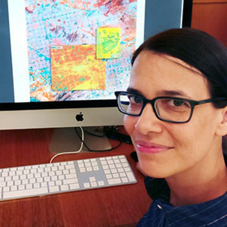
Dr. Bernard Hubbard uses NASA Earth science data to help locate mineral resources and assess natural hazards.
Data User Story
April 22, 2021
Who uses NASA Earth science data? Lela Prashad, for exploring how people live in and experience urban environments.
Data User Story
April 22, 2021

ALTUS Cumulus Electrification Study (ACES) help validate LIS data to examine thunderstorms.
Feature Article
April 19, 2021

SRTMGL1 coverage now includes Africa, Europe, North America, South America, Asia, and Australia in 1° X 1° tiles at 1 arc second (about 30 meters) resolution.
News
March 1, 2021
SHOWING 4 OF 63
Frequently Asked Questions
Earthdata Forum
Our online forum provides a space for users to browse thousands of FAQs about research needs, data, and data applications. You can also submit new questions for our experts to answer.
Submit Questions to Earthdata Forumand View Expert Responses