We are in the process of migrating all NASA Earth science data sites into Earthdata from now until end of 2026. Not all NASA Earth science data and resources will appear here until then. Thank you for your patience as we make this transition.
Read about the Web Unification Project
OBPG Learning Resources
Webinars, tutorials, data recipes and more to help you work with OBPG.
Filters

This webinar demonstrates the capabilities and use of SeaDAS (Version 7 and later), NASA's free and publicly available software which enables users from their standard desktop and laptop computers to process,visualize, and analyze remote sensing data.
Webinar
April 15, 2022
Join us to learn more about the migration of NASA PO.DAAC physical oceanography data to the Earthdata Cloud hosted in the Amazon Cloud (AWS). During this webinar, we will discuss which data will be hosted in the cloud, show you options for how to migrate your ocean data discovery and access process to the cloud, and also provide useful resources to support you in navigating this migration.
Webinar
April 15, 2022
Interested in NASA physical oceanography data and tools? Join us for a 4-week series starting Thursday, April 7 at 11am PT/2pm ET for NASA Aquarius Data Visualization, Interpretation, Communication and Engagement (ADVICE) webinar series.
Webinar
April 15, 2022

Satellite observations complement other sensors to gauge Earth’s energy imbalance (EEI) more accurately.
Data in Action
Feb. 18, 2022
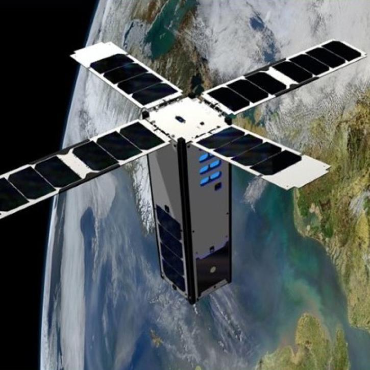
This webinar will provide an introduction to the SeaHawk/HawkEye CubeSat ocean color mission, show you how to discover, access, and work with SeaHawk data, and walk participants through the process of requesting image scheduling for regions of interest.
Webinar
Feb. 1, 2022

This ARSET training provides participants with the skills to combine in situ measurements and optical remote sensing data to assess water quality.
Training
Nov. 30 - Dec. 7, 2021

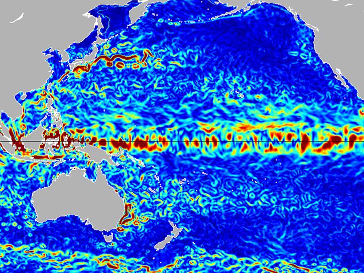
Researchers used satellite and saildrone data to measure sea surface salinity in coastal waters freshened by river runoff in the Yukon Delta.
Data in Action
Oct. 5, 2021

Esta capacitación de ARSET cubre similitudes y diferencias entre MODIS y VIIRS para monitoreo de calidad del agua.
Training
Sept. 14-21, 2021
SHOWING 8 OF 108