We are in the process of migrating all NASA Earth science data sites into Earthdata from now until end of 2026. Not all NASA Earth science data and resources will appear here until then. Thank you for your patience as we make this transition.
Read about the Web Unification Project
OBPG Learning Resources
Webinars, tutorials, data recipes and more to help you work with OBPG.
Filters

This tutorial will demonstrate how to preprocess the EMIT and PACE reflectance data so that they can be used together to investigate science questions. Using the emit_tools and pace_tools modules, the data are orthorectified, geolocated, merged where needed, and resampled onto a common grid, enabling direct comparison of observations from the two sensors.
External Resource
Jupyter Notebook
July 14, 2026
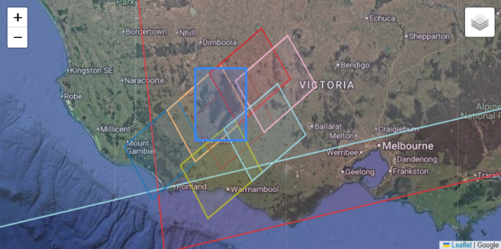
This tutorial demonstrates how to find colocated EMIT and PACE Ocean Color Instrument (OCI) granules using the earthaccess Python library.
External Resource
Jupyter Notebook
July 14, 2026
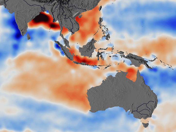
Researchers used ECCO data to understand the mechanisms behind changes in salinity of the Southeast Indian Ocean.
Data in Action
June 5, 2026
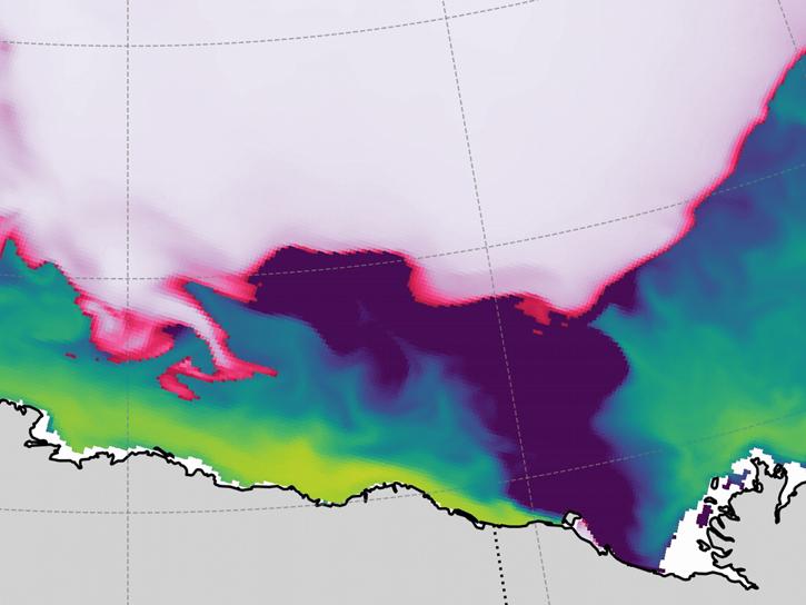
Arctic river discharge plays a key role in controlling early fall sea ice formation in the Beaufort Sea.
Data in Action
May 13, 2026
This three-part ARSET training covers flood monitoring via remote sensing, NASA flood products, and GEOGLOWS streamflow predictions.
Training
June 18-25, 2026
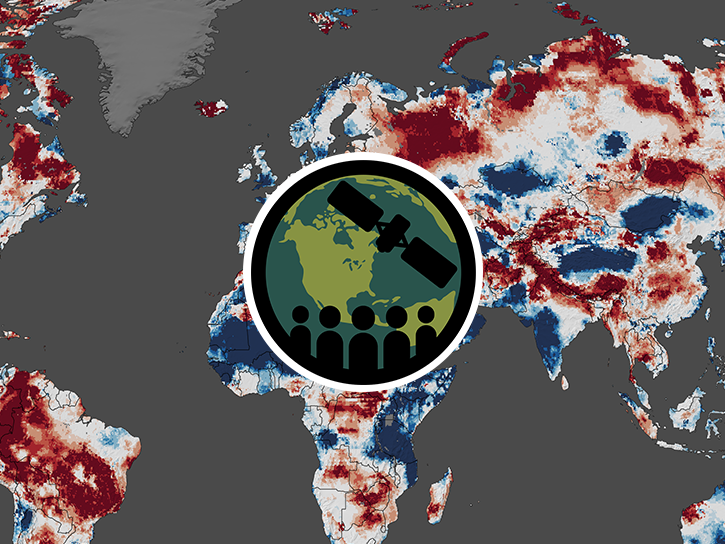
This ARSET training covers how data from GRACE/GRACE-FO, OPERA-DISP, and GLDAS can be used to assess groundwater changes.
Training
April 23-30, 2026
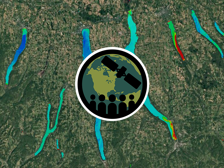
This ARSET training introduces STREAM, a web tool for monitoring chlorophyll-a concentration, Secchi disk depth, and total suspended solids in inland lakes and coastal regions.
Training
Feb. 10-17, 2026
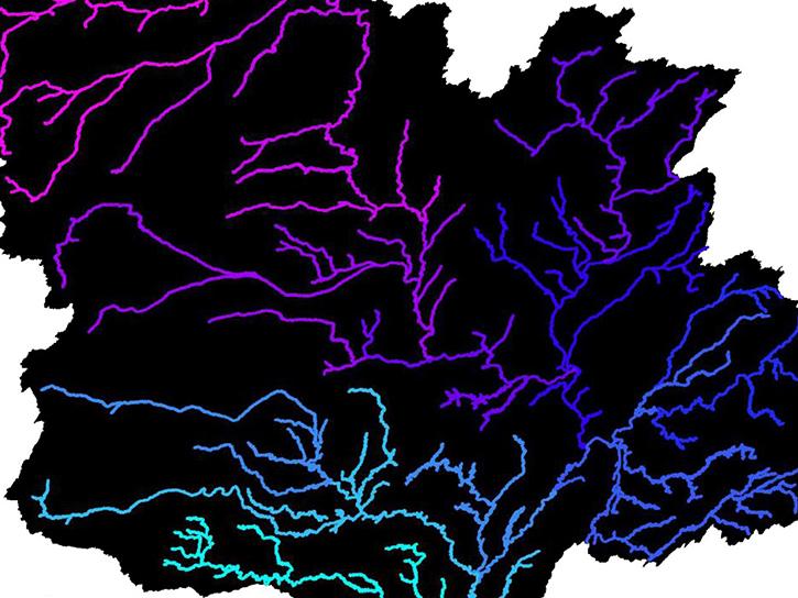
The SWOT Rivers Feature Service is available in both the ArcGIS REST Endpoints and Open Geospatial Consortium (OGC) Endpoints.
External Resource
GitHub Repository
March 29, 2023
SHOWING 8 OF 108