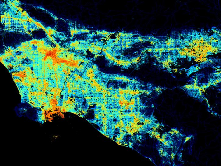
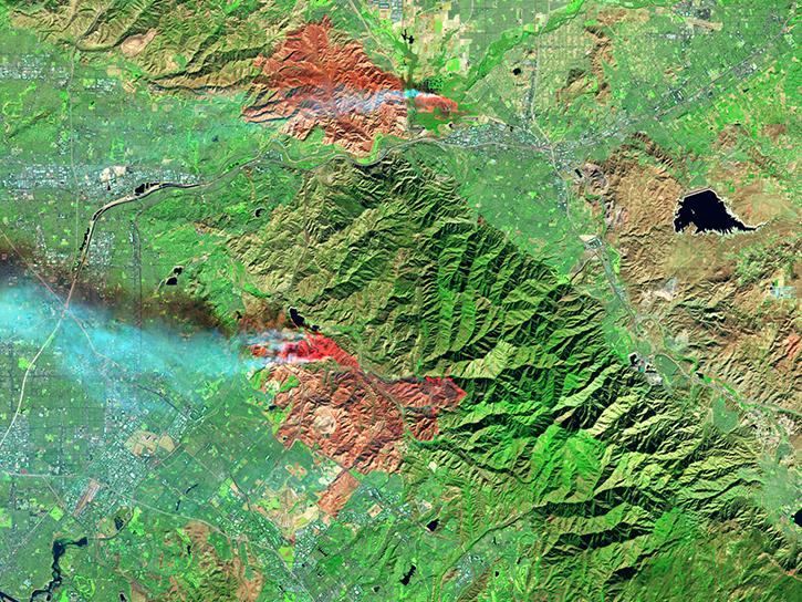
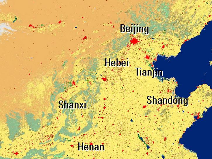
We are in the process of migrating all NASA Earth science data sites into Earthdata from now until end of 2026. Not all NASA Earth science data and resources will appear here until then. Thank you for your patience as we make this transition.
Read about the Web Unification Project
LP DAAC Learning Resources
Webinars, tutorials, data recipes and more to help you work with LP DAAC.
Filters
Learn how surface reflectance and albedo as measured by satellite data help scientists understand the topography and vegetation cover of Earth surfaces.
Data in Action
Nov. 30, 2017
Explore how MODIS data was used to support forest monitoring in Siberia, agricultural drought analysis across Africa, and fractal-based woodland extraction in Beijing.
Data in Action
Oct. 31, 2017
The Application for Extracting and Exploring Analysis Ready Samples (AppEEARS) Area Sampler allows users to extract, visualize, and download NASA data for an area of interest.
Tutorial
Oct. 25, 2017
See how data from MODIS and VIIRS allow meteorologists to observe how a hurricane formed, where it went, how long it lasted, and its impact.
Data in Action
Oct. 19, 2017
Learn how MODIS data help predict the spread of West Nile virus.
Data in Action
Sept. 17, 2017
Learn how ecologists used MODIS data to show vegetation's impact on Oregon bird communities.
Data in Action
Aug. 30, 2017
Learn how to use Visible Infrared Imaging Radiometer Suite (VIIRS) Surface Reflectance data, including data types, scale factors, and band combinations.
Tutorial
Aug. 8, 2017
Learn about the Visible Infrared Imaging Radiometer Suite (VIIRS) instrument and how to access VIIRS Surface Reflectance data.
Tutorial
Aug. 8, 2017
Pagination
SHOWING 8 OF 207