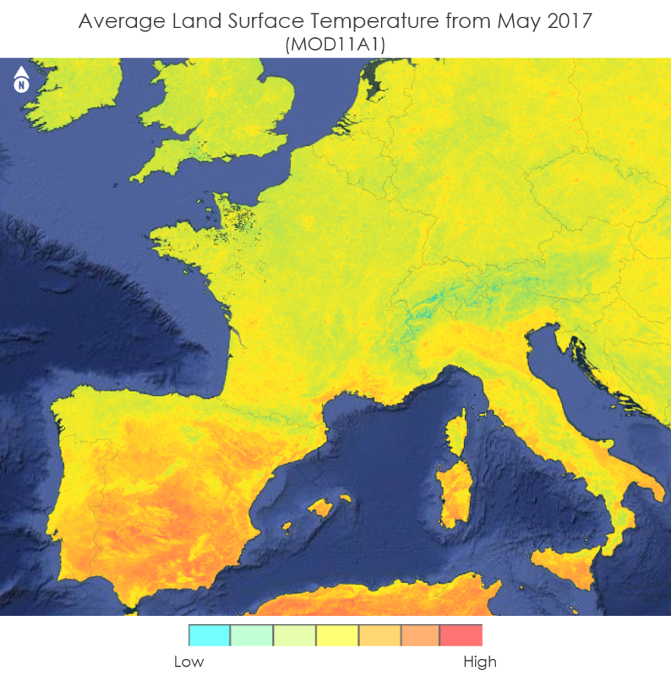
During the Spring 2018 Term of NASA’s DEVELOP National Program, participants used geospatial data and technologies to investigate, analyze, and monitor several issues around the world. Some of the topics explored throughout the term included invasive species, pollution, crop diversity, extreme weather, changing ecologies, wildfires, disease, water resources, archaeological preservation, and urbanization. Each project completed by a DEVELOP team is conducted in partnership with agencies or organizations local to the study area. Fundamental to the analytical and geospatial component of each of these projects is NASA Earth science remote sensing data. Two of these projects used data collected by the Moderate Resolution Imaging Spectroradiometer (MODIS) sensor onboard NASA's Terra and Aqua platforms and distributed by the Land Processes Distributed Active Archive Center (LP DAAC).
All projects conducted in the Spring term, as well as in past terms, can be found in the DEVELOP archive.
Featured Project: Modeling Mosquito Distribution in Europe
Mosquitos spread deadly vector-born illnesses to millions of people worldwide. The reach of these diseases is increasing as mosquitos are spreading via the numerous modes of travel throughout Europe. The NASA DEVELOP project, An Interactive Model of Mosquito Presence and Distribution to Assist Vector-Borne Disease Management in Western Europe, used NASA Earth observation data, combined with the Global Mosquito Alert Consortium’s citizen science data, to create an open source mosquito habitat suitability map with Google Earth Engine.
