NASA has total surface water datasets that help researchers characterize the extent of water in an area. Access a range of data and data tools to optimize your research.
Total Surface Water Data Access and Tools
Total Surface Water Datasets
| Dataset Sort descending | Version | Platform | Instrument | Temporal Extent | Spatial Extent | Spatial Resolution | Data Format |
|---|---|---|---|---|---|---|---|
| SWOT Simulated Level 2 North America Continent KaRIn High Rate Water Mask Pixel Cloud Product Version 1.0 | 1.0 | COMPUTERS | Computer | 2022-08-01 to 2022-08-22 |
N: 52 S: 24 E: -82 W: -113 |
20 Meters x 20 Meters | netCDF-4 |
| Timeseries of Arctic-Boreal Lake Area Derived from CubeSat Imagery, 2017 | 1 | SATELLITES | CAMERA | 2017-05-01 to 2017-10-01 |
N: 70.3105 S: 52.8149 E: -89.8193 W: -149.699 |
multiple | |
| VIIRS/JPSS1 Water Reservoir Area 8-day L3 Global V002 | 002 | NOAA-20 | VIIRS | 2018-01-01 to Present |
N: 90 S: -90 E: 180 W: -180 |
HDF-EOS5 | |
| VIIRS/JPSS1 Water Reservoir Monthly L3 Global V002 | 002 | NOAA-20 | VIIRS | 2018-01-01 to Present |
N: 90 S: -90 E: 180 W: -180 |
HDF-EOS5 | |
| VIIRS/JPSS2 Water Reservoir Area 8-day L3 Global V002 | 002 | NOAA-21 | VIIRS | 2023-02-10 to Present |
N: 90 S: -90 E: 180 W: -180 |
HDF-EOS5 | |
| VIIRS/JPSS2 Water Reservoir Monthly L3 Global V002 | 002 | NOAA-21 | VIIRS | 2023-02-01 to Present |
N: 90 S: -90 E: 180 W: -180 |
HDF-EOS5 | |
| VIIRS/NPP Water Reservoir Area 8-day L3 Global V002 | 002 | Suomi-NPP | VIIRS | 2012-01-17 to Present |
N: 90 S: -90 E: 180 W: -180 |
HDF-EOS5 | |
| VIIRS/NPP Water Reservoir Monthly L3 Global V002 | 002 | Suomi-NPP | VIIRS | 2012-01-01 to Present |
N: 90 S: -90 E: 180 W: -180 |
HDF-EOS5 |
Featured Total Surface Water Observation Method: SWOT
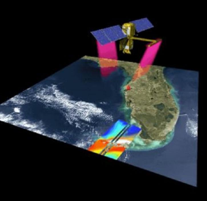
NASA's Surface Water and Ocean Topography (SWOT) platform monitors Earth’s surface water using its primary instrument, the Ka-band Radar Interferometer (KaRIn).
Get Help
QUESTIONS & SUPPORT
Get help with NASA Earth science data, datasets, tools, services, and metadata on the Earthdata Forum. Experienced staff in the data user community review and answer questions.
Get help on Earthdata ForumForum