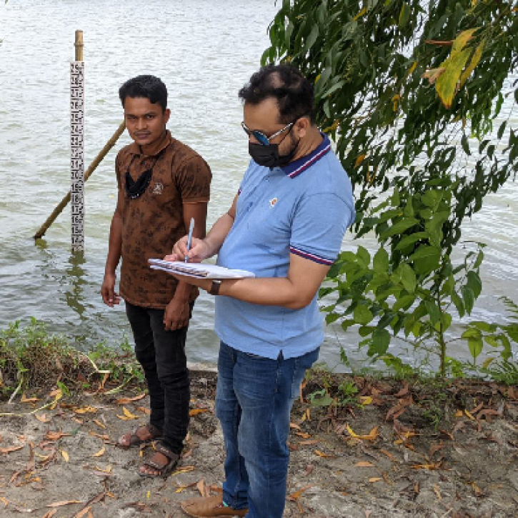
Water occupies about 71% of Earth's surface, of which only 2.5% is freshwater in the form of lakes, reservoirs, and rivers. Hydrologic observations of rivers, lakes, and reservoirs are extremely important given humanity's reliance on freshwater for survival, and are of major importance to understand the global water cycle. Existing stream gauge systems are limited in many areas — especially remote and politically unstable environments where people are often most vulnerable to floods and droughts. Remote sensing techniques such as altimetry and interferometry enable measurements of surface water to understand the global water cycle on land as well as provide a global inventory of water resources.
Altimetric missions such as TOPEX/Poseidon and the Jason-series enable monitoring of major inland waters. However, systematic, global monitoring of inland waters with altimeters has limitations as they provide measurements directly at the satellite’s nadir view, greatly restricting spatial sampling. Nadir altimeters miss more than 60% of lakes, thus only measuring a small fraction of the global lake storage change. The utilization of interferometry, such as the Surface Water and Ocean Topography (SWOT) mission, provides high-resolution observations over nearly all surface water bodies (e.g., lakes, rivers, reservoirs). Contrary to nadir altimetry, SWOT measures 65% of the global lake/reservoir storage change, providing the very first comprehensive view of Earth's surface inland water bodies from space.
SWOT's observations allow scientists to determine changing volumes of inland water across the globe at an unprecedented resolution. Hydrologists use the data to calculate the rate of water gained or lost in lakes, reservoirs, as well as discharge variations in rivers, globally. All of this helps us better understand and manage water resources, and ensure that people have access to clean freshwater for irrigation, drinking, and sanitation.