We are in the process of migrating all NASA Earth science data sites into Earthdata from now until end of 2026. Not all NASA Earth science data and resources will appear here until then. Thank you for your patience as we make this transition.
Read about the Web Unification Project
Geodetics News
Articles, resources, and announcements from Geodetics.

The Global Navigation Satellite System (GNSS) enables the precise location of points on Earth’s surface. For geodesists like Dr. Herring, it also is a key geodetic technique for his studies of surface deformation processes.
Data User Story
Jan. 7, 2021

NASA EOSDIS 2020 Data User Profile Yearbook showcases scientists, researchers, managers, and educators and the datasets that make their work possible.
Data User Story
Jan. 4, 2021

Knowing exactly where you are isn't good enough for science.
Feature Article
Dec. 28, 2020
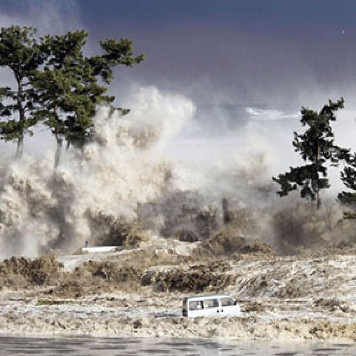
As the Earth turns, unlikely events can be a drag.
Feature Article
Dec. 28, 2020

Geodesists seek crazy precision in measuring sea level.
Feature Article
Dec. 28, 2020

Synthetic aperture radar data and scientists in detecting the ground deformation associated with earthquakes and volcanic eruptions.
Feature Article
Dec. 28, 2020
SHOWING 8 OF 25