We are in the process of migrating all NASA Earth science data sites into Earthdata from now until end of 2026. Not all NASA Earth science data and resources will appear here until then. Thank you for your patience as we make this transition.
Read about the Web Unification Project
Sea Surface Temperature News
Articles, resources, and announcements from Sea Surface Temperature.

Who uses NASA Earth science data? Cara Wilson, to better understand the possible connection between harmful algal blooms and southern right whale mortality.
Data User Story
Dec. 22, 2020
The public release of the NAVO GHRSST Level 4 K10-SST GDS2.0 product provides global daily analyzed SST at a 1-meter reference depth.
News
Nov. 4, 2020

Data collected by the Saildrone unmanned surface vehicle have been turned into a new animation at NASA’s Physical Oceanography DAAC (PO.DAAC).
News
Nov. 4, 2020

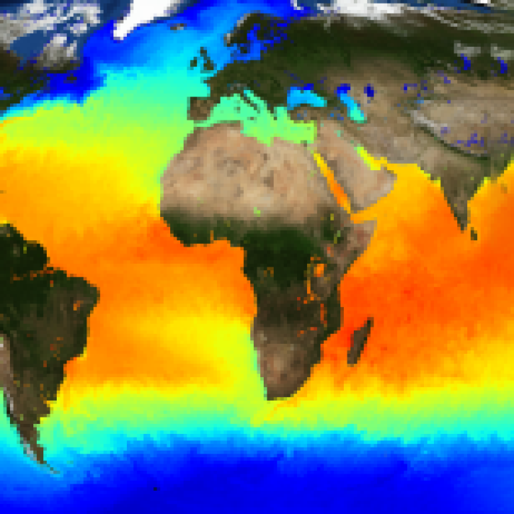
High-resolution sea surface temperature data can be used to study marine heat waves and the health of marine ecosystems.
Feature Article
Nov. 4, 2020
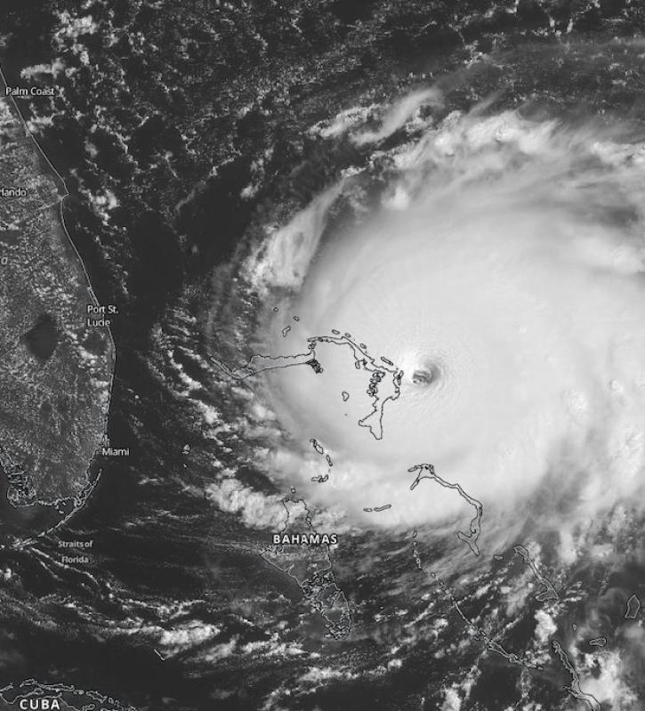
Scientists at NASA's Short-Term Prediction Research and Transition (SPoRT) project use near real-time data to help the operational weather community with hurricane forecasting.
Feature Article
Nov. 4, 2020

Heat flux between Earth's atmosphere and ocean significantly impacts global climate.
Feature Article
July 28, 2020

TOPEX/Poseidon data help a scientist find a rise in global mean sea level.
Feature Article
July 28, 2020
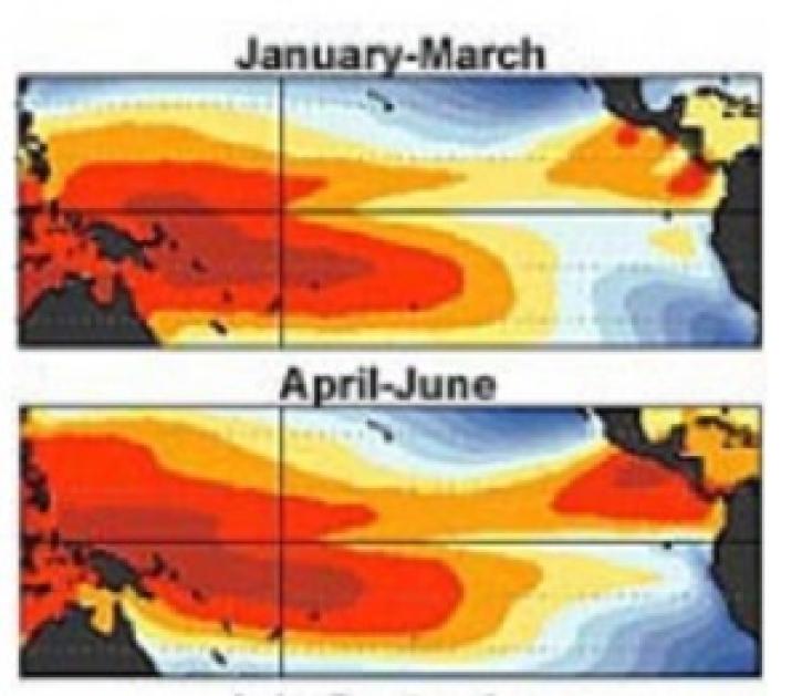
Scientists use ENSO as a test for a climate model examining the change in heat trapped by greenhouse gases.
Feature Article
July 28, 2020
SHOWING 8 OF 27