We are in the process of migrating all NASA Earth science data sites into Earthdata from now until end of 2026. Not all NASA Earth science data and resources will appear here until then. Thank you for your patience as we make this transition.
Read about the Web Unification Project
Ocean Learning Resources
Webinars, tutorials, data recipes and more to help you work with Ocean.
Get Started with the Data Basics
Processing remote sensing data can be overwhelming at first. We have resources to help with your journey through finding, processing, and visualizing remote sensing data.

The life cycle of Earth observation data is rich and complex, with many points of entry along the pipeline. From collection to visualization, we dive deep into the basics to demystify the incredible data in our catalog.
Data Basics
Oct. 19, 2024
Fundamentals of Remote Sensing introduces participants to the underlying science of satellite remote sensing.
Training
Ongoing
Filters

Interested in NASA physical oceanography data and tools? Join us for a 4-week series starting Thursday, April 7 at 11am PT/2pm ET for NASA Aquarius Data Visualization, Interpretation, Communication and Engagement (ADVICE) webinar series.
Webinar
April 15, 2022

Satellite observations complement other sensors to gauge Earth’s energy imbalance (EEI) more accurately.
Data in Action
Feb. 18, 2022
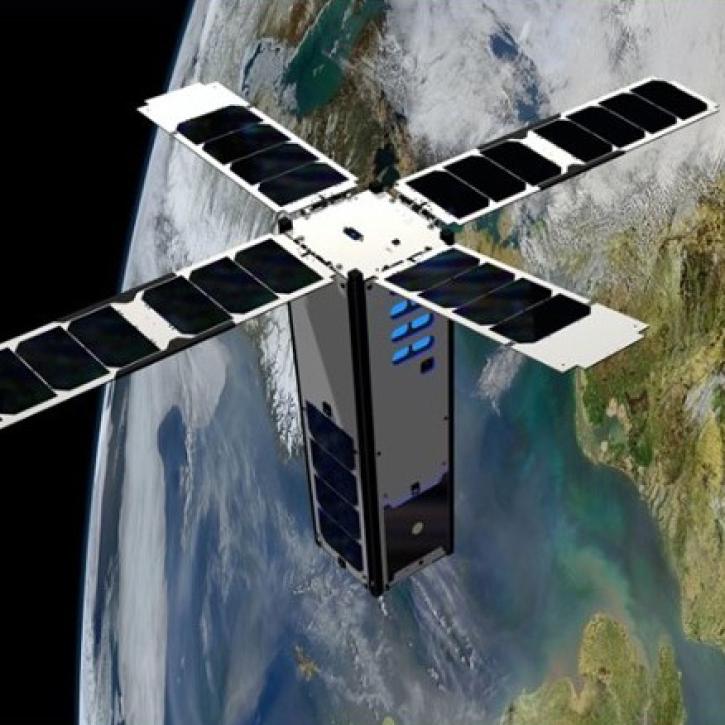
This webinar will provide an introduction to the SeaHawk/HawkEye CubeSat ocean color mission, show you how to discover, access, and work with SeaHawk data, and walk participants through the process of requesting image scheduling for regions of interest.
Webinar
Feb. 1, 2022

NASA Models Reveal Climate-Induced and Management Impacts on the Mississippi River Delta
StoryMap
Feb. 1, 2022

This ARSET training provides participants with the skills to combine in situ measurements and optical remote sensing data to assess water quality.
Training
Nov. 30 - Dec. 7, 2021

Researchers used satellite and saildrone data to measure sea surface salinity in coastal waters freshened by river runoff in the Yukon Delta.
Data in Action
Oct. 5, 2021

Esta capacitación de ARSET cubre similitudes y diferencias entre MODIS y VIIRS para monitoreo de calidad del agua.
Training
Sept. 14-21, 2021
This ARSET training provides an overview of the similarities and differences between MODIS and VIIRS for water quality monitoring.
Training
Sept. 14-21, 2021
SHOWING 8 OF 129
Frequently Asked Questions
Earthdata Forum
Our online forum provides a space for users to browse thousands of FAQs about research needs, data, and data applications. You can also submit new questions for our experts to answer.
Submit Questions to Earthdata Forumand View Expert Responses