We are in the process of migrating all NASA Earth science data sites into Earthdata from now until end of 2026. Not all NASA Earth science data and resources will appear here until then. Thank you for your patience as we make this transition.
Read about the Web Unification Project
Ocean Learning Resources
Webinars, tutorials, data recipes and more to help you work with Ocean.
Get Started with the Data Basics
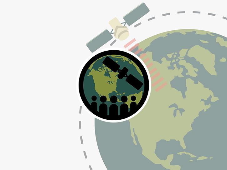
Processing remote sensing data can be overwhelming at first. We have resources to help with your journey through finding, processing, and visualizing remote sensing data.

The life cycle of Earth observation data is rich and complex, with many points of entry along the pipeline. From collection to visualization, we dive deep into the basics to demystify the incredible data in our catalog.
Data Basics
Oct. 19, 2024
Fundamentals of Remote Sensing introduces participants to the underlying science of satellite remote sensing.
Training
Ongoing
Filters

NASA scientists examined the sea surface temperature response associated with this 2018 hurricane.
Data in Action
Nov. 26, 2018

The ability to understand where fish are likely to be and when they are likely to be there is critical for the sustainable management of fisheries.
Data in Action
Feb. 1, 2018

Learn how the interactive platform helps researchers analyze hurricane data.
Data in Action
Oct. 3, 2017

This ARSET training covers how to use remote sensing to identify impaired water quality from harmful algal blooms.
Training
Sept. 5-26, 2017

Learn how NASA leverages satellite observations as much as possible to try to better understand future regional sea level change.
Data in Action
Aug. 22, 2017

Learn how the Oceans Melting Greenland (OMG) projects surveys Greenland’s glaciers and ice sheets and studies how the oceans and ice interact with each other.
Data in Action
Feb. 27, 2017

Learn now NASA's Soil Moisture Active Passive (SMAP) satellite and other satellite instruments were used to create a comprehensive chronology of the flood from land to ocean.
Data in Action
Dec. 6, 2016

Learn how satellite data supported landslide detection in the French Alps, flowering pattern analysis for beekeepers, and mangrove ecosystem monitoring in Bangladesh and India.
Data in Action
Oct. 29, 2016
SHOWING 8 OF 129
Frequently Asked Questions
Earthdata Forum
Our online forum provides a space for users to browse thousands of FAQs about research needs, data, and data applications. You can also submit new questions for our experts to answer.
Submit Questions to Earthdata Forumand View Expert Responses