We are in the process of migrating all NASA Earth science data sites into Earthdata from now until end of 2026. Not all NASA Earth science data and resources will appear here until then. Thank you for your patience as we make this transition.
Read about the Web Unification Project
Ocean Learning Resources
Webinars, tutorials, data recipes and more to help you work with Ocean.
Get Started with the Data Basics
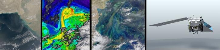
Processing remote sensing data can be overwhelming at first. We have resources to help with your journey through finding, processing, and visualizing remote sensing data.

The life cycle of Earth observation data is rich and complex, with many points of entry along the pipeline. From collection to visualization, we dive deep into the basics to demystify the incredible data in our catalog.
Data Basics
Oct. 19, 2024
Fundamentals of Remote Sensing introduces participants to the underlying science of satellite remote sensing.
Training
Ongoing
Filters
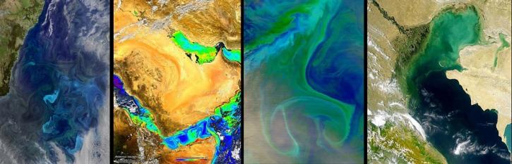
This presentation will explore the history and evolution of satellite-borne ocean color sensors. Join us to learn about the impact of past and present sensors, and how future platforms will contribute toward a growing NASA oceanography data archive.
Webinar
March 27, 2020
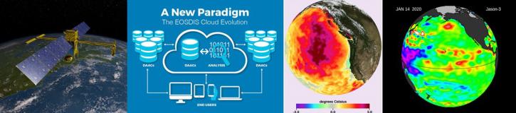
Join NASA's Physical Oceanography Distributed Active Archive Center (PO.DAAC) to discuss what it means for NASA's physical oceanography data, services, and resources to move to the cloud and how these changes will impact the data user.
Webinar
March 27, 2020
NASA's Ocean Biology Distributed Active Archive Center (OB.DAAC) manages, archives and distributes nearly 40 years of ocean color, sea surface temperature, and sea surface salinity data. Join us to learn more about NASA ocean color data, services and tools!
Webinar
Feb. 18, 2020

Researchers use NASA data to better understand key mechanisms responsible for near-surface salinity variations in the ocean.
Data in Action
Oct. 3, 2019

NASA data helps researchers track post-storm changes in sea surface temperature and ocean salinity.
Data in Action
June 12, 2019

This ARSET training focuses on integrating NASA Earth observations into water quality monitoring decision-making processes.
Training
June 5-19, 2019

Post-storm effects included sea surface temperature cooling followed by localized chlorophyll-a blooms.
Data in Action
April 11, 2019
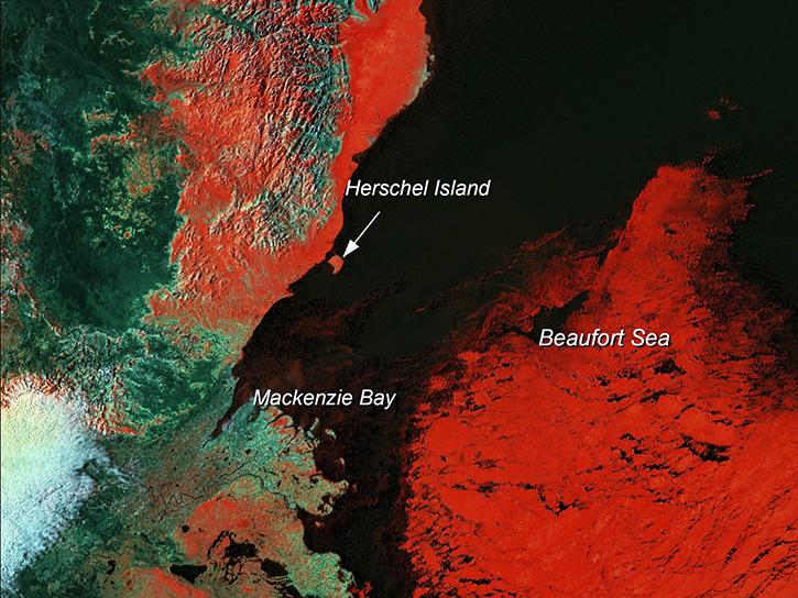
Learn how scientists use remote sensing data to study sea ice patterns to see how changes can influence weather, climate, and animal populations in these regions.
Data in Action
Dec. 6, 2018
SHOWING 8 OF 129
Frequently Asked Questions
Earthdata Forum
Our online forum provides a space for users to browse thousands of FAQs about research needs, data, and data applications. You can also submit new questions for our experts to answer.
Submit Questions to Earthdata Forumand View Expert Responses