We are in the process of migrating all NASA Earth science data sites into Earthdata from now until end of 2026. Not all NASA Earth science data and resources will appear here until then. Thank you for your patience as we make this transition.
Read about the Web Unification Project
Topography Learning Resources
Webinars, tutorials, data recipes and more to help you work with Topography.
Filters

Access cloud-optimized Sentinel-1 radiometric terrain corrected synthetic aperture radar (SAR) backscatter products from NASA's Observational Products for End-Users from Remote Sensing Analysis (OPERA) project.
Tutorial
Dec. 1, 2023
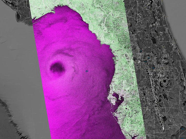
Access cloud-optimized Sentinel-1 radiometric terrain corrected SAR backscatter products from NASA's OPERA project and Alaska Satellite Facility Distributed Active Archive Center (ASF DAAC).
StoryMap
Dec. 1, 2023

Work with Sentinel-1 Burst products from NASA’s Alaska Satellite Facility Distributed Active Archive Center (ASF DAAC).
StoryMap
June 14, 2023
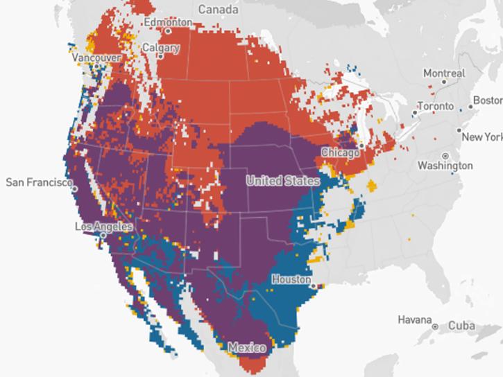
The eBird tool leverages NASA's remote sensing data to monitor bird populations and habitats and aid in conservation efforts.
Data in Action
May 8, 2023
The GitHub repository, hosted by NASA's Land Processes Distributed Active Archive Center, provides a range of materials for using LP DAAC data and tools.
Tutorial
April 21, 2023
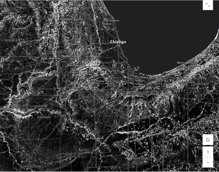
Learn how to use the Global 30-m Height Above Nearest Drainage (HAND) dataset generated from the Copernicus GLO-30 DEM, from the image service published by NASA’s Alaska Satellite Facility Distributed Active Archive Center (ASF DAAC)
StoryMap
Dec. 2, 2022
Height Above Nearest Drainage (HAND) is a terrain model that normalizes topography to the relative heights along the drainage network and is used to describe the relative soil gravitational potentials or the local drainage potentials.
Tutorial
Dec. 2, 2022
Learn about median 6-, 12-, 18-, 24-, 36- and 48-day seasonal coherence values and mean seasonal backscatter for Sentinel-1 acquisitions from December 1, 2019 through November 30, 2020.
Tutorial
Dec. 1, 2022
SHOWING 8 OF 56
Frequently Asked Questions
Earthdata Forum
Our online forum provides a space for users to browse thousands of FAQs about research needs, data, and data applications. You can also submit new questions for our experts to answer.
Submit Questions to Earthdata Forumand View Expert Responses