We are in the process of migrating all NASA Earth science data sites into Earthdata from now until end of 2026. Not all NASA Earth science data and resources will appear here until then. Thank you for your patience as we make this transition.
Read about the Web Unification Project
Topography Learning Resources
Webinars, tutorials, data recipes and more to help you work with Topography.
Filters
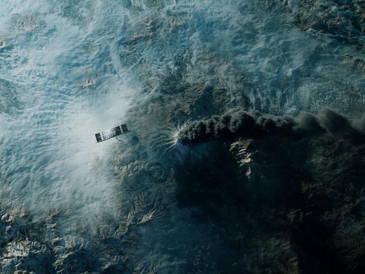
Learn more about the NASA Commercial Satellite Data Acquisition (CSDA) program vendor ICEYE US and how to discover, access, and work with ICEYE's high-resolution SAR products.
Webinar
April 15, 2025
Work with data from the NASA/ISRO (Indian Space Research Organization) Synthetic Aperture Radar (NISAR) platform in ArcGIS Pro with data from NASA's Alaska Satellite Facility Distributed Active Archive Center (ASF DAAC).
StoryMap
Feb. 26, 2025

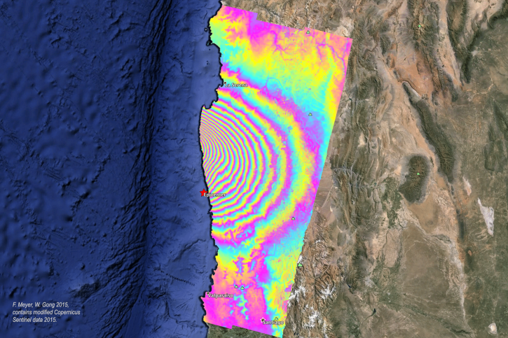
Learn how to create and unwrap an interferogram with GMT5SAR script in the cloud for Windows in NASA’s Alaska Satellite Facility Distributed Active Archive Center (ASF DAAC) tutorial.
Tutorial
Feb. 3, 2025

Learn to create and unwrap an interferogram with GMT5SAR script in the cloud — OS X in this data recipe from NASA’s Alaska Satellite Facility Distributed Active Archive Center (ASF DAAC).
Data Recipe
Feb. 3, 2025

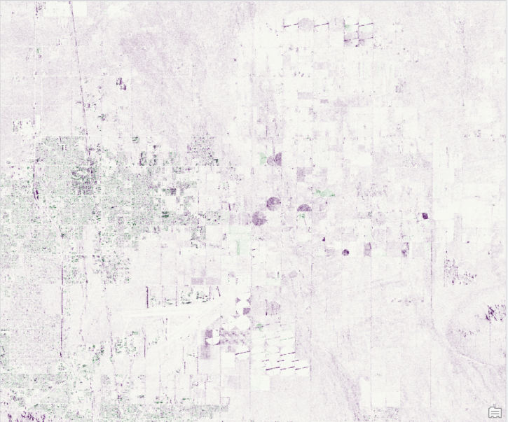
Learn how to create a deformation map from unwrapped interferograms in this data recipe from NASA’s Alaska Satellite Facility Distributed Active Archive Center (ASF DAAC).
Data Recipe
Feb. 3, 2025
In the second ICESat-2 webinar, learn how to work with land and vegetation height data. A live demonstration will showcase the SlideRule Earth web service which provides on-demand science data processing.
Webinar
Jan. 31, 2025
Order Sentinel-1 interferometric synthetic aperture radar (InSAR) products On Demand from NASA’s Alaska Satellite Facility Distributed Active Archive Center (ASF DAAC) for individual SLC bursts.
StoryMap
Nov. 1, 2024

This is the first in a five-part webinar series to introduce NASA's Ice, Cloud, and land Elevation-2 (ICESat-2) platform and the platform's data, tools, and applications.
Webinar
Oct. 28, 2024
SHOWING 8 OF 56
Frequently Asked Questions
Earthdata Forum
Our online forum provides a space for users to browse thousands of FAQs about research needs, data, and data applications. You can also submit new questions for our experts to answer.
Submit Questions to Earthdata Forumand View Expert Responses