We are in the process of migrating all NASA Earth science data sites into Earthdata from now until end of 2026. Not all NASA Earth science data and resources will appear here until then. Thank you for your patience as we make this transition.
Read about the Web Unification Project
Topography Learning Resources
Webinars, tutorials, data recipes and more to help you work with Topography.
Filters
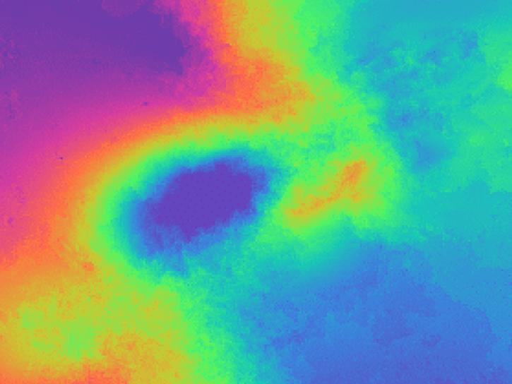
Learn how to phase unwrap an interferogram in this data recipe from NASA’s Alaska Satellite Facility Distributed Active Archive Center (ASF DAAC).
Data Recipe
Oct. 18, 2024
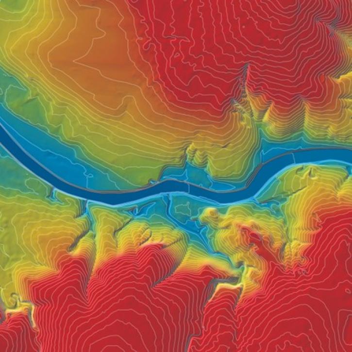
Learn more about about the NASA Commercial Satellite Data Acquisition (CSDA) program vendor Maxar and how to discover, access, and work with Maxar data.
Webinar
Oct. 15, 2024
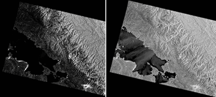
This data recipe shows users how to use GAMMA software and scripts for high-quality results to correct distortions in SAR images.
Data Recipe
Oct. 2, 2024
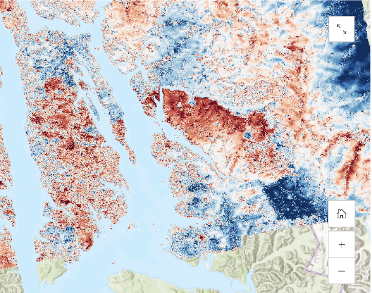
Learn about the water masking option provided by NASA’s Alaska Satellite Facility Distributed Active Archive Center (ASF DAAC) for on-demand Sentinel-1 interferometric synthetic aperture radar (InSAR).
StoryMap
Aug. 23, 2024

This tutorial demonstrates the impact that water masking can have on your phase unwrapping results.
Tutorial
Aug. 23, 2024
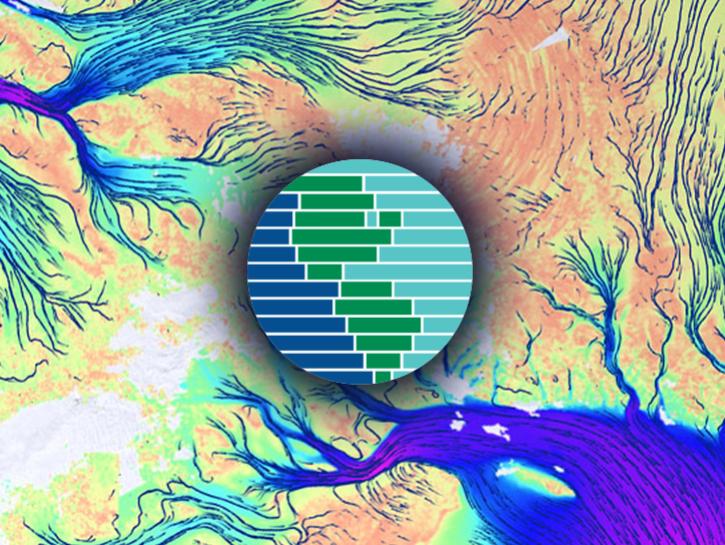
Discover the process of using synthetic aperture radar (SAR) for visualizing changes in a landscape caused by disturbances such as floods, deforestation, agriculture, and freeze/thaw cycles.
Tutorial
March 23, 2024
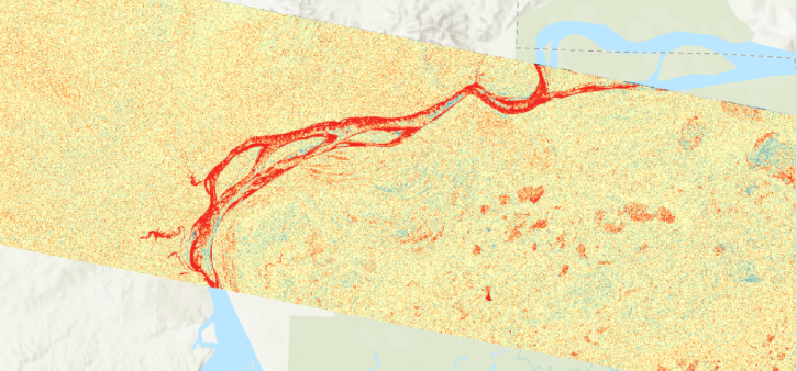
View a change detection workflow for Radiometric Terrain-Corrected products from Sentinel-1 (RTC-S1) provided by NASA's OPERA project and Alaska Satellite Facility Distributed Active Archive Center (ASF DAAC).
StoryMap
March 4, 2024
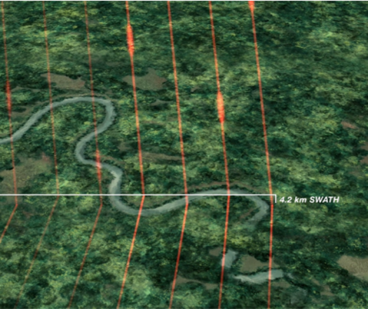
Join us Tuesday, Mar 5, 2024, from 4-5 p.m., ET, to learn how to get started with NASA's Global Ecosystem Dynamics Investigation (GEDI) data in the cloud.
Webinar
Feb. 20, 2024
SHOWING 8 OF 56
Frequently Asked Questions
Earthdata Forum
Our online forum provides a space for users to browse thousands of FAQs about research needs, data, and data applications. You can also submit new questions for our experts to answer.
Submit Questions to Earthdata Forumand View Expert Responses