We are in the process of migrating all NASA Earth science data sites into Earthdata from now until end of 2026. Not all NASA Earth science data and resources will appear here until then. Thank you for your patience as we make this transition.
Read about the Web Unification Project
Terrain Elevation News
Articles, resources, and announcements from Terrain Elevation.

NASA has long used imaging spectroscopy to peer into space. Now, scientists are using the technology to take a closer look at Earth.
Data User Story
Feb. 15, 2024
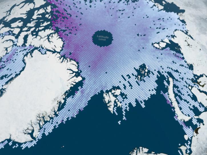
OpenAltimetry, a cyberinfrastructure platform for working with data from NASA’s Ice, Cloud, and land Elevation Satellite (ICESat) and ICESat-2 missions, is now a full NASA Earth science application.
News
Oct. 5, 2023
Join the NASA Ice, Cloud and land Elevation Satellite-2 (ICESat-2) Applications Team on Nov 16, 2022, for the ICESat-2 Atmospheric Applications and Forging Multi-mission Solutions Focus Session.
News
Nov. 7, 2022

Who Uses NASA Earth Science Data? Rowena Lohman, to study earthquake physics, satellite remote sensing, finite element modeling, ground displacements from a variety of anthropogenic and natural causes.
Data User Story
April 22, 2021

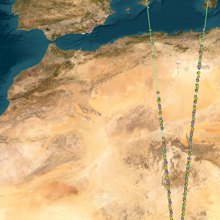
The ability for Synthetic Aperture Radar (SAR) to create high-resolution imagery regardless of atmospheric conditions makes it a key technology for studies of change over time. Dr. Paul Siqueira’s work improves these sensors and the Earth observing data they collect.
Data User Story
April 22, 2021

SRTMGL1 coverage now includes Africa, Europe, North America, South America, Asia, and Australia in 1° X 1° tiles at 1 arc second (about 30 meters) resolution.
News
March 1, 2021

Global climate change is leading to shifts in vital ecosystems. Dr. Malone uses Earth observation data to explore how a changing climate impacts ecosystem structure and function.
Data User Story
Feb. 25, 2021
Find EOSDIS dataset and data tool news, top stories, featured data images, webinars, links to new learning resources, data recipes, and data user profiles.
News
Jan. 27, 2021
SHOWING 8 OF 35