We are in the process of migrating all NASA Earth science data sites into Earthdata from now until end of 2026. Not all NASA Earth science data and resources will appear here until then. Thank you for your patience as we make this transition.
Read about the Web Unification Project
Soil Water Holding Capacity Data Access and Tools
Access the datasets and tools you need to make the most of soil water holding capacity research.
Table of contents
Soil Water Holding Capacity Datasets
| Dataset | Platforms | Instruments | Temporal Extent | Location Keywords | Spatial Extent | Data Format |
|---|---|---|---|---|---|---|
| Arctic Vegetation Plots at Toolik Lake, Alaska, 1989 | FIELD INVESTIGATION, FIELD SURVEYS, LABORATORY | PROBES, SOIL SAMPLER | 1989-08-01 to 1989-08-24 | N: 68.643 S: 68.6228 E: -149.587 W: -149.651 | CSV | |
| BOREAS HYD-01 Soil Hydraulic Properties | FIELD INVESTIGATION | VISUAL OBSERVATIONS, TENSION INFILTROMETER | 1994-01-01 to 1994-12-31 | N: 55.93 S: 53.63 E: -98.29 W: -106.2 | ASCII | |
| Global Distribution of Plant-Extractable Water Capacity of Soil (Dunne) | NOT APPLICABLE | NOT APPLICABLE | 1996-01-01 to 1996-12-31 | N: 90 S: -90 E: 180 W: -180 | multiple | |
| Global Gridded Surfaces of Selected Soil Characteristics (IGBP-DIS) | NOT APPLICABLE | NOT APPLICABLE | 1950-01-01 to 1996-12-31 | N: 90 S: -90 E: 180 W: -180 | ASCII Grid | |
| Global Soil Data Products CD-ROM Contents (IGBP-DIS) | NOT APPLICABLE | NOT APPLICABLE | 1995-01-01 to 1996-12-31 | N: 90 S: -90 E: 180 W: -180 | Binary | |
| Global Soil Texture and Derived Water-Holding Capacities (Webb et al.) | NOT APPLICABLE | NOT APPLICABLE | 1950-01-01 to 1996-12-31 | N: 90 S: -90 E: 180 W: -180 | multiple | |
| LINKAGES: An Individual-based Forest Ecosystem Biogeochemistry Model | METEOROLOGICAL STATIONS | THERMOMETERS, RAIN GAUGES | 1973-01-01 to 2008-12-31 | N: 90 S: -90 E: 180 W: -180 | multiple | |
| SAFARI 2000 Selected Soil Characteristics, 10-km Grid (IGBP-DIS) | NOT APPLICABLE | NOT APPLICABLE | 1995-01-01 to 1996-12-31 | N: 5 S: -35 E: 60 W: -5 | ASCII |
SHOWING 8 OF 8
Featured Soil Water Holding Capacity Observation Method: SMAP
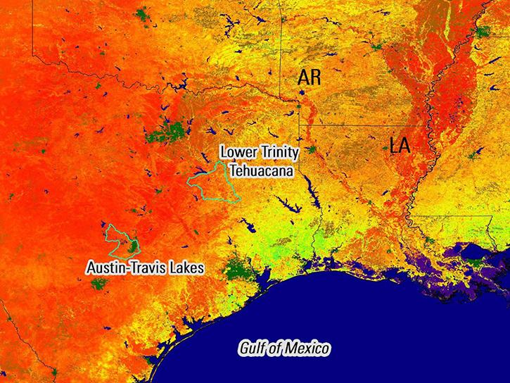
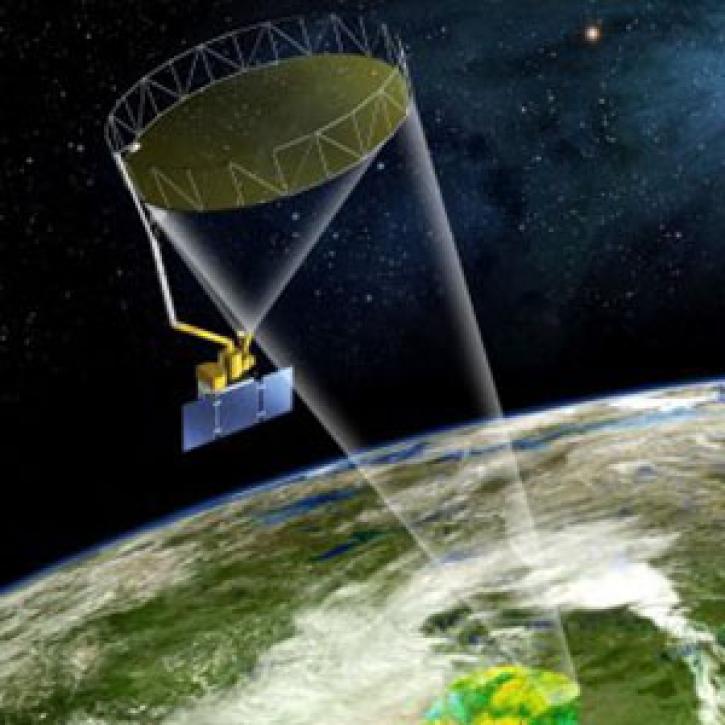
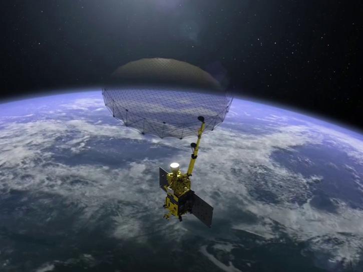
NASA's Soil Moisture Active-Passive (SMAP) platform measures surface soil conditions everywhere on Earth every two to three days. These data are used to produce global maps of soil moisture, enabling improvements in weather, flood, and drought forecasts, and predictions of agricultural productivity and climate.
Remote sensing data's drought-indicating parameters are essential to manage the impact of water scarcities and minimize drought losses.
NASA's SMAP team turns raw satellite data into more than a dozen data products for data users around the world.
9 MIN READ
GIBS now has Soil Moisture Active Passive (SMAP) layers available for soil moisture and temperature, snow mass, heterotrophic respiration, and more.
This webinar will compare sea surface salinity data collected by the Aquarius and SMAP missions. We will showcase data visualization and data access tools available through NASA's Physical Oceanography Distributed Active Archive Center.
Frequently Asked Questions
Earthdata Forum
Our online forum provides a space for users to browse thousands of FAQs about research needs, data, and data applications. You can also submit new questions for our experts to answer.
Submit Questions to Earthdata Forumand View Expert Responses


